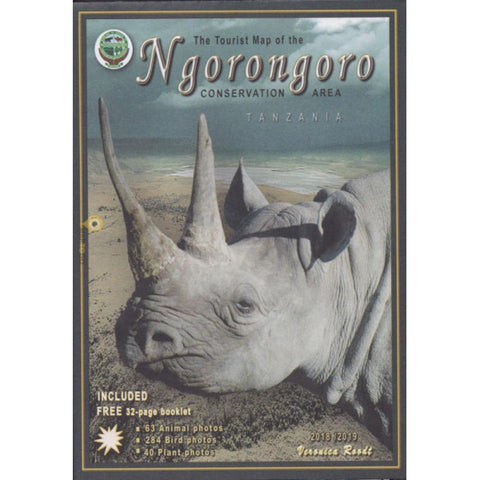
A Tourist Map of Ngorongoro Conservation Area, with Photographic Checklist
The tourist map of the Ngorongoro Conservation Area is based on satellite photographs. The main map at 1: 200 000 is complemented by numerous enlargements of significant areas as of course the crater of the Ngorongoro volcano.
- Product Number: VR_NGORO_18
- Reference Product Number: 2304381M
- ISBN: 9780620342049
- Date of Publication: 6/1/2018
- Folded Size: 8.27 inches high by 5.91 inches wide
- Unfolded (flat) Size: 23.23 inches high by 33.07 inches wide
- Map format: Folded
- Map type: Trade Maps - Park
- Geographical region: Tanzania