Free Shipping on map orders over $300 - Prices in US$
Approaches to San Juan Harbor (25669-1) by NOAA
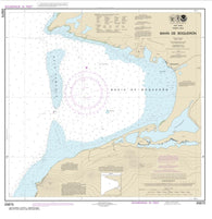
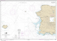
Bahia de Boqueron (25675-10) by NOAA
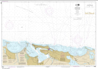
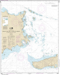
Bahia de Fajardo and Approaches (25667-21) by NOAA
Bahia de Guanica (25679-10) by NOAA
Bahia de Guayanilla and Bahia de Tallaboa (25681-18) by NOAA
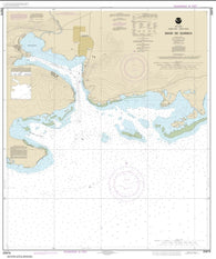
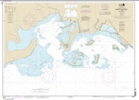
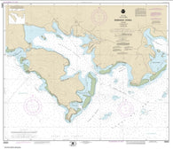
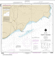
Bahia de Jobos and Bahia de Rincon (25687-13) by NOAA
Bahia de Mayaguez and approaches (25673-17) by NOAA
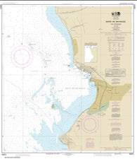
Bahia de Ponce and Approaches (25683-20) by NOAA
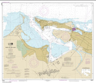
Bahia de San Juan (25670-44) by NOAA
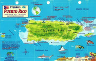
Caribbean Fish Card, Puerto Rico 2011 by Frankos Maps Ltd.
Caribbean Map, US Virgin Islands Guide and Dive, folded, 2015
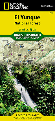
Caribbean National Forest, Puerto Rico, Map 790 by National Geographic Maps
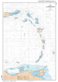
De Puerto Rico a Trinidad by SHOM
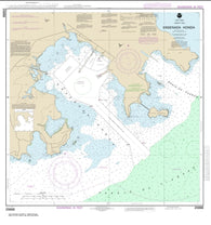
Ensenada Honda (25654-13) by NOAA
Ensenada Honda (25666-18) by NOAA
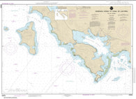
Ensenada Honda to Canal de Luis Pena (25655-12) by NOAA
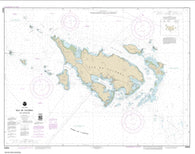
Isla de Culebra and Approaches (25653-13) by NOAA
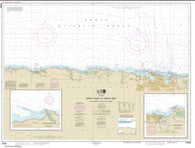
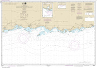
North Coast of Puerto Rico Punta Penon to Punta Vacia Talega; Puerto Arecibo; Puerto Palmas Altas (25668-21) by NOAA
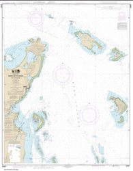
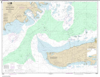
Pasaje de San Juan to Puerto de Humacao and Western Part of lsla de Vieques (25663-29) by NOAA
Pasaje de Vieques and Radas Roosevelt (25664-18) by NOAA
PR : Puerto Rico : streetsmart
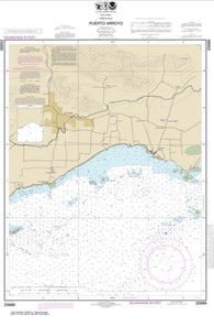
Puerto Arroyo (25689-10) by NOAA
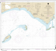
Puerto Maunabo (25659-9) by NOAA
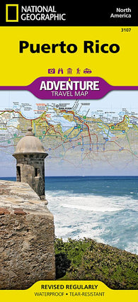
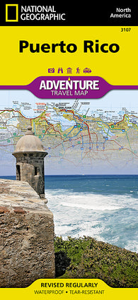
Puerto Rico Adventure Map 3107
Puerto Rico Adventure Map 3107 by National Geographic Maps
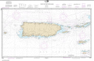
Puerto Rico and Virgin Islands (25640-45) by NOAA
Puerto Rico StreetSmart by VanDam
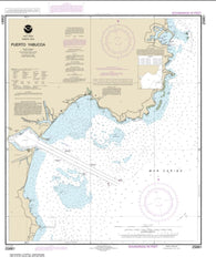
Puerto Yabucoa (25661-12) by NOAA
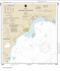
Punta Lima to Cayo Batata (25665-11) by NOAA
Punta Petrona to lsla Caja de Muertos (25685-9) by NOAA
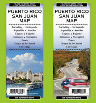
San Juan, Puerto Rico by GM Johnson
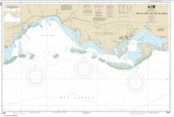
South Coast of Puerto Rico Guanica Light to Punta Tuna Light; Las Mareas (25677-22) by NOAA
US Virgin Islands & Puerto Rico Travel Map
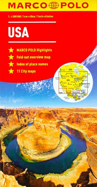
USA
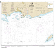
West Coast of Puerto Rico (25671-19) by NOAA
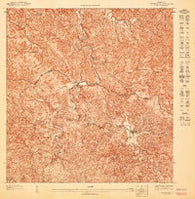
~ Adjuntas NE PR topo map, 1:10000 scale, 3.75 X 3.75 Minute, Historical, 1947
~ Adjuntas NO PR topo map, 1:10000 scale, 3.75 X 3.75 Minute, Historical, 1947
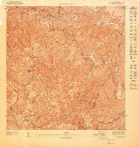
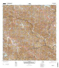
~ Adjuntas PR topo map, 1:20000 scale, 7.5 X 7.5 Minute, 2013
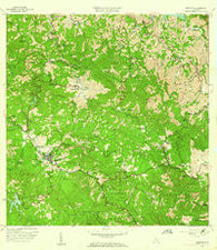
~ Adjuntas PR topo map, 1:20000 scale, 7.5 X 7.5 Minute, Historical, 1960, updated 1962
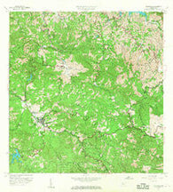
~ Adjuntas PR topo map, 1:20000 scale, 7.5 X 7.5 Minute, Historical, 1960, updated 1968