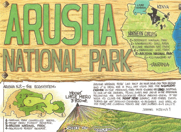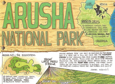
Arusha National Park Map
The map of Arusha National Park highlights some of the most common vegetation and trees. The overleaf map shows the route to the ascent to the Summit of Mt. Meru which features, elevations, trekking hours and gradients. Also includes list of useful information with proposed itinerary, accommodations, guides & porters, equipment rentals and park fees.
- Product Number: MACO_ARUSHA_97
- Reference Product Number: 2034936M
- ISBN: 9780783425160
- Date of Publication: 6/1/1997
- Folded Size: 7.87 inches high by 5.91 inches wide
- Unfolded (flat) Size: 16.54 inches high by 11.02 inches wide
- Map format: Folded
- Map type: Trade Maps - Park
- Geographical region: Tanzania

