
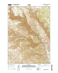
~ Packsaddle Canyon WY topo map, 1:24000 scale, 7.5 X 7.5 Minute, 2015
Packsaddle Canyon, Wyoming, USGS topographic map dated 2015.
Includes geographic coordinates (latitude and longitude). This topographic map is suitable for hiking, camping, and exploring, or framing it as a wall map.
Printed on-demand using high resolution imagery, on heavy weight and acid free paper, or alternatively on a variety of synthetic materials.
Topos available on paper, Waterproof, Poly, or Tyvek. Usually shipping rolled, unless combined with other folded maps in one order.
- Product Number: USGS-7861371
- Free digital map download (high-resolution, GeoPDF): Packsaddle Canyon, Wyoming (file size: 25 MB)
- Map Size: please refer to the dimensions of the GeoPDF map above
- Weight (paper map): ca. 55 grams
- Map Type: POD USGS Topographic Map
- Map Series: US Topo
- Map Verison: Current
- Cell ID: 33848
- Datum: North American Datum of 1983
- Map Projection: Transverse Mercator
- Map Cell Name: Packsaddle Canyon
- Grid size: 7.5 X 7.5 Minute
- Date on map: 2015
- Map Scale: 1:24000
- Geographical region: Wyoming, United States
Neighboring Maps:
All neighboring USGS topo maps are available for sale online at a variety of scales.
Spatial coverage:
Topo map Packsaddle Canyon, Wyoming, covers the geographical area associated the following places:
- Red Spring - Red Spring Reservoirs - Corral Creek - Armstrong Cabin - Red Spring Hill - Brack Cabin - Webb Perkins Ditch - Emerald Park Mine - Dancehall Flats - Snowdrift Draw - Gordons Camp - Gordons Cowcamp - Johnson Creek - Gardner Creek - Lindar Cabin - Everson Cabin - Horseshoe Canyon - Simmons Creek - Charlie Brown Spring - Spring Run - Cash Trail - Cottonwood Spring - Hammond Spring - Hat Ranch - Gibbs Cabin - Smith Cabin - Mud Spring - Packsaddle Canyon - Pass Creek - Smith Cabins
- Map Area ID: AREA4443.875-107-106.875
- Northwest corner Lat/Long code: USGSNW44-107
- Northeast corner Lat/Long code: USGSNE44-106.875
- Southwest corner Lat/Long code: USGSSW43.875-107
- Southeast corner Lat/Long code: USGSSE43.875-106.875
- Northern map edge Latitude: 44
- Southern map edge Latitude: 43.875
- Western map edge Longitude: -107
- Eastern map edge Longitude: -106.875


