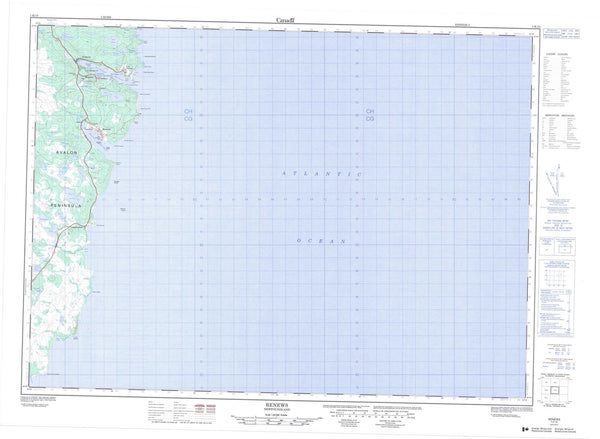
001K12 St Shotts Canada topo map, 1:50,000 scale
001K12 St Shotts NRCAN topographic map.
Includes UTM and GPS geographic coordinates (latitude and longitude). This 50k scale map is suitable for hiking, camping, and exploring, or you could frame it as a wall map.
Printed on-demand using high resolution, on heavy weight and acid free paper, or as an upgrade on a variety of synthetic materials.
Topos available on paper, Waterproof, Poly, or Tyvek. Usually shipping rolled, unless combined with other folded maps in one order.
- Product Number: NRCAN-001K12
- Parent Topo: TOPO-001K
- Map ID also known as: 001K12, 01K12, 1K12
- Unfolded Size: Approximately 26" high by 36" wide
- Weight (paper map): ca. 55 grams
- Map Type: POD NRCAN Topographic Map
- Map Scale: 1:50,000
- Geographical region: Newfoundland and Labrador, Canada
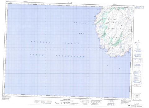
Neighboring Maps:
All neighboring Canadian topo maps are available for sale online at 1:50,000 scale.
Purchase the smaller scale map covering this area: Topo-001K
Spatial coverage:
Topo map sheet 001K12 St Shotts covers the following places:
- Arnold Cove - Back Cove - Blackhead Cove - Boat Cove - Broad Cove - Bull Cove - Cannon Cove - Cape Freels Cove - Cape Pine Cove - Copper Cove - Green Gulch - Gull Island Cove - Hazel Cove - Holyrood Bay - Johns Cove - Kestrel Cove - Long Cove - Marines Cove - Nancy's Gulch - Paddys Black Hole - Sculpin Cove - Seals Cove - Shag Rock Cove - Shag Rock Cove - Shoal Point Cove - Spy Cove - St. Mary's Bay - St. Shores Cove - St. Shotts Cove - The Cove Jim Got Paddy - The Gut - Trepassey Bay - Watern Cove - Watern Cove - Wild Cove - Windy Gulch - Worry Cove - Wreck Apple - Avalon Peninsula - Bluff Head - Broad Cove Head - Cannon Cove Point - Cape Freels - Cape Pine - Cape Pine Head - Crewe Point - Drakes Point - Eastern Head - Flat Point - Flat Rocks of Broad Cove - Gull Island Point - Johns Cove Point - Kestrel Point - Laurel Point - Meigle Point - Pickapie Hill Point - Shoal Point - St. Shores Point - Sword Point - Watern Cove Point - Western Head - Falls Break - Fork Break - St. Shores Woods - St. Shotts Woods - Gull Island - Back Cove Ponds - Black Head Pond - Boat Cove Gulch - Cape Freels Pond - Creweens Ponds - Doctors Pond - Fiddleback Pond - George Johns Pond - Good Water Gulch - Goose Pond - Gull Island Pond - Gull Ponds - Long Break Pond - Long Marsh Ponds - Loo Pond - Lumpycock Pond - Saddle Pond - Upper Break Ponds - Western Head Gulch - Broad Cove Lookout - Gut Hill - Kings Ridge - Long Hill - Peters River Hill - Pickapie Hill - Sand Carriers - St. Shores Lookout - The Castle - White Stick Hill - Arnolds Cove River - Baby House Brook - Gull Island Brook - Old Sams River - Peters Brook - Saddle River - Sams Brook - Sams River - St. Shores River - St. Shotts River - Three Gully River - Tucken Bush River - Freels Rock - Gull Island Ridge - Henry Rock - Jib Rock - Johns Cove Shoals - Moor Rock - Shag Rock - Square Rock - St. Shotts - Back Shore - Halfway Tucks - Scrape Shore - St. Shores - Stage Shore - Bog Ground - St. Shotts Country - The Neck