
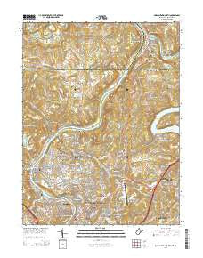
~ Morgantown North WV topo map, 1:24000 scale, 7.5 X 7.5 Minute, Historical, 2014
Morgantown North, West Virginia, USGS topographic map dated 2014.
Includes geographic coordinates (latitude and longitude). This topographic map is suitable for hiking, camping, and exploring, or framing it as a wall map.
Printed on-demand using high resolution imagery, on heavy weight and acid free paper, or alternatively on a variety of synthetic materials.
Topos available on paper, Waterproof, Poly, or Tyvek. Usually shipping rolled, unless combined with other folded maps in one order.
- Product Number: USGS-7754912
- Free digital map download (high-resolution, GeoPDF): Morgantown North, West Virginia (file size: 39 MB)
- Map Size: please refer to the dimensions of the GeoPDF map above
- Weight (paper map): ca. 55 grams
- Map Type: POD USGS Topographic Map
- Map Series: US Topo
- Map Verison: Historical
- Cell ID: 30235
- Datum: North American Datum of 1983
- Map Projection: Transverse Mercator
- Map Cell Name: Morgantown North
- Grid size: 7.5 X 7.5 Minute
- Date on map: 2014
- Map Scale: 1:24000
- Geographical region: West Virginia, United States
Neighboring Maps:
All neighboring USGS topo maps are available for sale online at a variety of scales.
Spatial coverage:
Topo map Morgantown North, West Virginia, covers the geographical area associated the following places:
- Sabraton - Hoard - McKinley Hill - The Flatts - Star City - Jerome Park - Dunkard - Fairmor - West Van Voorhis - Woodburn - Walnut Hill - Van Voorhis - Pierpont - Morgantown - Westover - Bertha Hill - Maidsville - Tanglewood - Sunnyside - Point Marion - Suncrest - Morgan Heights - Pineridge North - Randall - Brewer Hill - Suncrest Lake - Easton - Jaco - Canyon - North Hills - Fort Martin - Baker Ridge - Chestnut Ridge - Blosser Hill - Nilan - Wiles Hill - Stewartstown - Evansdale - Virginia Manor - Fieldcrest - Seneca - Davidson - The Mileground - Park Hills - West Point Marion - Braewick Woods - Granville - Riverside - Oakview - Rosedale
- Map Area ID: AREA39.7539.625-80-79.875
- Northwest corner Lat/Long code: USGSNW39.75-80
- Northeast corner Lat/Long code: USGSNE39.75-79.875
- Southwest corner Lat/Long code: USGSSW39.625-80
- Southeast corner Lat/Long code: USGSSE39.625-79.875
- Northern map edge Latitude: 39.75
- Southern map edge Latitude: 39.625
- Western map edge Longitude: -80
- Eastern map edge Longitude: -79.875


