
~ Blockhouse Lake WI topo map, 1:24000 scale, 7.5 X 7.5 Minute, Historical, 2013
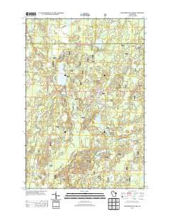
Blockhouse Lake, Wisconsin, USGS topographic map dated 2013.
Includes geographic coordinates (latitude and longitude). This topographic map is suitable for hiking, camping, and exploring, or framing it as a wall map.
Printed on-demand using high resolution imagery, on heavy weight and acid free paper, or alternatively on a variety of synthetic materials.
Topos available on paper, Waterproof, Poly, or Tyvek. Usually shipping rolled, unless combined with other folded maps in one order.
- Product Number: USGS-5951979
- Free digital map download (high-resolution, GeoPDF): Blockhouse Lake, Wisconsin (file size: 33 MB)
- Map Size: please refer to the dimensions of the GeoPDF map above
- Weight (paper map): ca. 55 grams
- Map Type: POD USGS Topographic Map
- Map Series: US Topo
- Map Verison: Historical
- Cell ID: 4403
- Datum: North American Datum of 1983
- Map Projection: Transverse Mercator
- Map Cell Name: Blockhouse Lake
- Grid size: 7.5 X 7.5 Minute
- Date on map: 2013
- Map Scale: 1:24000
- Geographical region: Wisconsin, United States
Neighboring Maps:
All neighboring USGS topo maps are available for sale online at a variety of scales.
Spatial coverage:
Topo map Blockhouse Lake, Wisconsin, covers the geographical area associated the following places:
- Hoffman Creek - Lost Lake - Bear Lake - Sugarbush Dam - Sugarbush School (historical) - WHBM-FM (Park Falls) - Beaverdam Lake - Fourth Rapids - Planet Lake - Creeds Flowage - Tracy Creek - Hoffman Lake - Flambeau Trails Parking Area - Town of Eisenstein - Sixth Rapids - East Fork Hay Creek - Fifth Rapids - Wintergreen Lake - Hay Lake - Iodine Lake - Granger Lake - Third Rapids - Threemile Creek - Hay Creek Hoffman Lake State Wildlife Area - The Ledge Rapids - Tracy Lake - Hansen Lake - Fifield Lookout Tower - Cedar Creek - Pershing School (historical) - Bullhead Lake - Forest Rapids - Blockhouse Lake - Hay Creek - WLEF-TV (Park Falls)
- Map Area ID: AREA4645.875-90.375-90.25
- Northwest corner Lat/Long code: USGSNW46-90.375
- Northeast corner Lat/Long code: USGSNE46-90.25
- Southwest corner Lat/Long code: USGSSW45.875-90.375
- Southeast corner Lat/Long code: USGSSE45.875-90.25
- Northern map edge Latitude: 46
- Southern map edge Latitude: 45.875
- Western map edge Longitude: -90.375
- Eastern map edge Longitude: -90.25


