
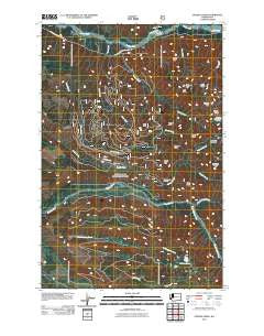
~ Golden Lakes WA topo map, 1:24000 scale, 7.5 X 7.5 Minute, Historical, 2011
Golden Lakes, Washington, USGS topographic map dated 2011.
Includes geographic coordinates (latitude and longitude). This topographic map is suitable for hiking, camping, and exploring, or framing it as a wall map.
Printed on-demand using high resolution imagery, on heavy weight and acid free paper, or alternatively on a variety of synthetic materials.
Topos available on paper, Waterproof, Poly, or Tyvek. Usually shipping rolled, unless combined with other folded maps in one order.
- Product Number: USGS-5259676
- Free digital map download (high-resolution, GeoPDF): Golden Lakes, Washington (file size: 17 MB)
- Map Size: please refer to the dimensions of the GeoPDF map above
- Weight (paper map): ca. 55 grams
- Map Type: POD USGS Topographic Map
- Map Series: US Topo
- Map Verison: Historical
- Cell ID: 17628
- Datum: North American Datum of 1983
- Map Projection: Transverse Mercator
- Map Cell Name: Golden Lakes
- Grid size: 7.5 X 7.5 Minute
- Date on map: 2011
- Map Scale: 1:24000
- Geographical region: Washington, United States
Neighboring Maps:
All neighboring USGS topo maps are available for sale online at a variety of scales.
Spatial coverage:
Topo map Golden Lakes, Washington, covers the geographical area associated the following places:
- North Mowich River - Carbon River Ranger Station - Spray Creek - Golden Lakes - Elizabeth Ridge - Tolmie Peak - Eunice Lake - North Park - Virginia Peak - Paul Peak Trail - Mountain Meadows - Meadow Creek - June Creek - Poch Peak - Howard Peak - Sweet Peak - Martin Peak - Tolmie Creek - Florence Peak - Berry Peak - Mowich Lake Entrance - August Peak - Poch Creek - Grindstone - Carbon River Entrance - Wonderland Trail - Crater Creek - South Mowich River - Alki Crest - Boundary Trail - Sunset Park - Hayden Creek - Paul Peak
- Map Area ID: AREA4746.875-122-121.875
- Northwest corner Lat/Long code: USGSNW47-122
- Northeast corner Lat/Long code: USGSNE47-121.875
- Southwest corner Lat/Long code: USGSSW46.875-122
- Southeast corner Lat/Long code: USGSSE46.875-121.875
- Northern map edge Latitude: 47
- Southern map edge Latitude: 46.875
- Western map edge Longitude: -122
- Eastern map edge Longitude: -121.875


