
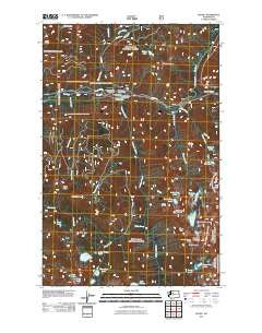
~ Scenic WA topo map, 1:24000 scale, 7.5 X 7.5 Minute, Historical, 2011
Scenic, Washington, USGS topographic map dated 2011.
Includes geographic coordinates (latitude and longitude). This topographic map is suitable for hiking, camping, and exploring, or framing it as a wall map.
Printed on-demand using high resolution imagery, on heavy weight and acid free paper, or alternatively on a variety of synthetic materials.
Topos available on paper, Waterproof, Poly, or Tyvek. Usually shipping rolled, unless combined with other folded maps in one order.
- Product Number: USGS-5257572
- Free digital map download (high-resolution, GeoPDF): Scenic, Washington (file size: 19 MB)
- Map Size: please refer to the dimensions of the GeoPDF map above
- Weight (paper map): ca. 55 grams
- Map Type: POD USGS Topographic Map
- Map Series: US Topo
- Map Verison: Historical
- Cell ID: 40154
- Datum: North American Datum of 1983
- Map Projection: Transverse Mercator
- Map Cell Name: Scenic
- Grid size: 7.5 X 7.5 Minute
- Date on map: 2011
- Map Scale: 1:24000
- Geographical region: Washington, United States
Neighboring Maps:
All neighboring USGS topo maps are available for sale online at a variety of scales.
Spatial coverage:
Topo map Scenic, Washington, covers the geographical area associated the following places:
- Glacier Lake - Scenic - Spark Plug Lake - Thunder Mountain - Embro Lake - Mount Sawyer - Surprise Gap - Tonga Ridge - Fisher Lake - Tye Canyon Campground - Ptarmigan Lakes - Deception Falls Picnic Area - Pieper Pass - Alpine Baldy - Ptarmigan Lake - June Lake - Lake Sawyer - Mary Lake - Lake Murphy - Murphy Lakes - Deception Lakes - Sawyer Creek - Deception Falls - Hamada Lake - Deception Falls Campground - Windy Mountain - Martin Creek - Little Plug Lake - Fisher Creek - Surprise Creek - Surprise Mountain - Spark Plug Mountain - Daisy Lake - Kelley Creek - Scenic Creek - Jewel Lakes - Tunnel Creek - Surprise Lake - Surprise Mountain Lookout - Deception Creek Campground - Lower Fisher Lake - Deception Creek - Carroll Creek - Alpine Falls
- Map Area ID: AREA47.7547.625-121.25-121.125
- Northwest corner Lat/Long code: USGSNW47.75-121.25
- Northeast corner Lat/Long code: USGSNE47.75-121.125
- Southwest corner Lat/Long code: USGSSW47.625-121.25
- Southeast corner Lat/Long code: USGSSE47.625-121.125
- Northern map edge Latitude: 47.75
- Southern map edge Latitude: 47.625
- Western map edge Longitude: -121.25
- Eastern map edge Longitude: -121.125


