
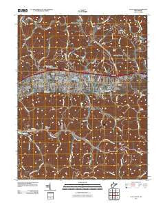
~ Scott Depot WV topo map, 1:24000 scale, 7.5 X 7.5 Minute, Historical, 2011
Scott Depot, West Virginia, USGS topographic map dated 2011.
Includes geographic coordinates (latitude and longitude). This topographic map is suitable for hiking, camping, and exploring, or framing it as a wall map.
Printed on-demand using high resolution imagery, on heavy weight and acid free paper, or alternatively on a variety of synthetic materials.
Topos available on paper, Waterproof, Poly, or Tyvek. Usually shipping rolled, unless combined with other folded maps in one order.
- Product Number: USGS-5241197
- Free digital map download (high-resolution, GeoPDF): Scott Depot, West Virginia (file size: 24 MB)
- Map Size: please refer to the dimensions of the GeoPDF map above
- Weight (paper map): ca. 55 grams
- Map Type: POD USGS Topographic Map
- Map Series: US Topo
- Map Verison: Historical
- Cell ID: 40298
- Datum: North American Datum of 1983
- Map Projection: Transverse Mercator
- Map Cell Name: Scott Depot
- Grid size: 7.5 X 7.5 Minute
- Date on map: 2011
- Map Scale: 1:24000
- Geographical region: West Virginia, United States
Neighboring Maps:
All neighboring USGS topo maps are available for sale online at a variety of scales.
Spatial coverage:
Topo map Scott Depot, West Virginia, covers the geographical area associated the following places:
- Teays - Englewood Estates - Mount Vernon Meadows - Cheyenne Valley - Sleepy Hollow Township - Lexington Estates - Kenmar Trailer Park - Fairview - Cherry Grove - Saunders Addition - Teays Valley Estates - Ranch Lake Estates - Sun Valley Estates - Dogwood Estates - Springdale Estates - Teays Farm - Black Lick Estates - Autumn Wynds - Scott Village - Valley View Estates - Woods and Irons South - The Ridge Estates - Teays Villa - Scott Depot - Winsor Court - Colonial Gardens - Rolling Meadows - Teays Village - Candlewyck Place - Teays Valley Meadows - Woods and Irons - Hickory Hill - Belle Acres - Woodcliffe Chase - Country Villas - Hidden Valley Estates - Teays Meadow - Fairway Gardens - Oakwood Estates - Teays Valley - Woods and Irons East
- Map Area ID: AREA38.538.375-82-81.875
- Northwest corner Lat/Long code: USGSNW38.5-82
- Northeast corner Lat/Long code: USGSNE38.5-81.875
- Southwest corner Lat/Long code: USGSSW38.375-82
- Southeast corner Lat/Long code: USGSSE38.375-81.875
- Northern map edge Latitude: 38.5
- Southern map edge Latitude: 38.375
- Western map edge Longitude: -82
- Eastern map edge Longitude: -81.875


