
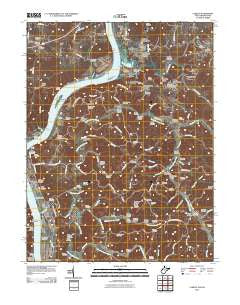
~ Lubeck WV topo map, 1:24000 scale, 7.5 X 7.5 Minute, Historical, 2010
Lubeck, West Virginia, USGS topographic map dated 2010.
Includes geographic coordinates (latitude and longitude). This topographic map is suitable for hiking, camping, and exploring, or framing it as a wall map.
Printed on-demand using high resolution imagery, on heavy weight and acid free paper, or alternatively on a variety of synthetic materials.
Topos available on paper, Waterproof, Poly, or Tyvek. Usually shipping rolled, unless combined with other folded maps in one order.
- Product Number: USGS-5239812
- Free digital map download (high-resolution, GeoPDF): Lubeck, West Virginia (file size: 19 MB)
- Map Size: please refer to the dimensions of the GeoPDF map above
- Weight (paper map): ca. 55 grams
- Map Type: POD USGS Topographic Map
- Map Series: US Topo
- Map Verison: Historical
- Cell ID: 26856
- Datum: North American Datum of 1983
- Map Projection: Transverse Mercator
- Map Cell Name: Lubeck
- Grid size: 7.5 X 7.5 Minute
- Date on map: 2010
- Map Scale: 1:24000
- Geographical region: West Virginia, United States
Neighboring Maps:
All neighboring USGS topo maps are available for sale online at a variety of scales.
Spatial coverage:
Topo map Lubeck, West Virginia, covers the geographical area associated the following places:
- New England Heights Addition - Remus (historical) - Randolph Landing - Fairview Acres - Tyner (historical) - Washington Gardens - Humphrey - Wesley (historical) - Oak Acres - Youba - Wadeville - Oak (historical) - McPherson Addition - DeMoor Subdivision - Torch - Armenia (historical) - Walkers Crossing (historical) - Lee Creek - Binola (historical) - Crystal Spring Lake - Wells Subdivision - Lubeck Hills - Lubeck - New England - Eli - Tallmans - Balderson (historical) - Scott (historical) - Wakefield
- Map Area ID: AREA39.2539.125-81.75-81.625
- Northwest corner Lat/Long code: USGSNW39.25-81.75
- Northeast corner Lat/Long code: USGSNE39.25-81.625
- Southwest corner Lat/Long code: USGSSW39.125-81.75
- Southeast corner Lat/Long code: USGSSE39.125-81.625
- Northern map edge Latitude: 39.25
- Southern map edge Latitude: 39.125
- Western map edge Longitude: -81.75
- Eastern map edge Longitude: -81.625


