
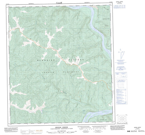
116B04 Swede Creek Canada topo map, 1:50,000 scale
116B04 Swede Creek NRCAN topographic map.
Includes UTM and GPS geographic coordinates (latitude and longitude). This 50k scale map is suitable for hiking, camping, and exploring, or you could frame it as a wall map.
Printed on-demand using high resolution, on heavy weight and acid free paper, or as an upgrade on a variety of synthetic materials.
Topos available on paper, Waterproof, Poly, or Tyvek. Usually shipping rolled, unless combined with other folded maps in one order.
- Product Number: NRCAN-116B04
- Parent Topo: TOPO-116B
- Map ID also known as: 116B04, 116B4
- Unfolded Size: Approximately 26" high by 36" wide
- Weight (paper map): ca. 55 grams
- Map Type: POD NRCAN Topographic Map
- Map Scale: 1:50,000
- Geographical region: Yukon, Canada
Neighboring Maps:
All neighboring Canadian topo maps are available for sale online at 1:50,000 scale.
Purchase the smaller scale map covering this area: Topo-116B
Spatial coverage:
Topo map sheet 116B04 Swede Creek covers the following places:
- Klondike Hills - Moosehide Hills - Klondike Plateau - Yukon Plateau - 20 Pup - Ballarat Creek - Becker Pup - Benson Creek - Bryant Creek - Dawson Creek - Deadwood Creek - Discovery Pup - Empire Creek - Fleuve Yukon - Fourth Creek - Fresno Creek - Lewes River - Little Twelve Mile Creek - Montana Creek - North Walkers Fork - O.K. Creek - Quebec Creek - Remetry Pup - Small Creek - South Walkers Fork - Swede Creek - Yukon River - Tintina Trench - Tintina Valley


