
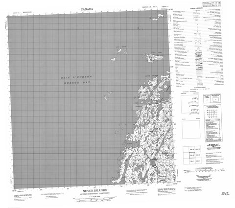
035L08 Nuvuk Islands Canada topo map, 1:50,000 scale
035L08 Nuvuk Islands NRCAN topographic map.
Includes UTM and GPS geographic coordinates (latitude and longitude). This 50k scale map is suitable for hiking, camping, and exploring, or you could frame it as a wall map.
Printed on-demand using high resolution, on heavy weight and acid free paper, or as an upgrade on a variety of synthetic materials.
Topos available on paper, Waterproof, Poly, or Tyvek. Usually shipping rolled, unless combined with other folded maps in one order.
- Product Number: NRCAN-035L08
- Parent Topo: TOPO-035L
- Map ID also known as: 035L08, 35L8, 35L08
- Unfolded Size: Approximately 26" high by 36" wide
- Weight (paper map): ca. 55 grams
- Map Type: POD NRCAN Topographic Map
- Map Scale: 1:50,000
- Geographical region: Nunavut, Canada
Neighboring Maps:
All neighboring Canadian topo maps are available for sale online at 1:50,000 scale.
Purchase the smaller scale map covering this area: Topo-035L
Spatial coverage:
Topo map sheet 035L08 Nuvuk Islands covers the following places:
- Havre Nuvuk - Nuvuk Harbour - Peck Inlet - Pointe Aulassivik - Pointe Nuvuc - Pointe Taliruq - Fairway Island - Île Aulassivik - North Skerries - Nuvuk Islands - Lac Iqaluit Qulliit - Lac Qarliik - Ice Harbour


