
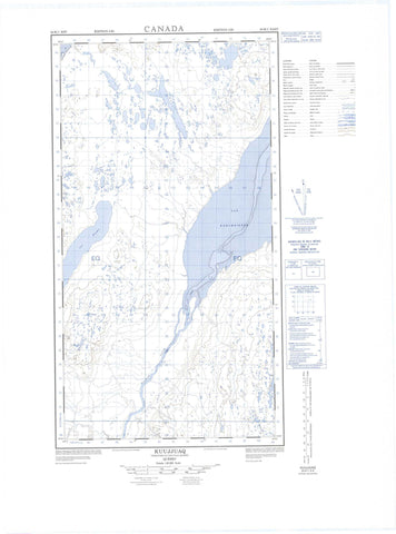
024K01E Kuujjuaq Canada topo map, 1:50,000 scale
024K01E Kuujjuaq NRCAN topographic map.
Includes UTM and GPS geographic coordinates (latitude and longitude). This 50k scale map is suitable for hiking, camping, and exploring, or you could frame it as a wall map.
Printed on-demand using high resolution, on heavy weight and acid free paper, or as an upgrade on a variety of synthetic materials.
Topos available on paper, Waterproof, Poly, or Tyvek. Usually shipping rolled, unless combined with other folded maps in one order.
- Halfsheet: This map was designed as a half sheet of NRCAN-024K01, and it is the Eastern half. Find the western half sheet here.
- Product Number: NRCAN-024K01E
- Parent Topo: TOPO-024K
- Map ID also known as: 024K01, 24K1, 24K01
- Unfolded Size: Approximately 26" high by 36" wide
- Weight (paper map): ca. 55 grams
- Map Type: POD NRCAN Topographic Map
- Map Scale: 1:50,000
- Geographical region: Nunavut, Canada
Neighboring Maps:
All neighboring Canadian topo maps are available for sale online at 1:50,000 scale.
Purchase the smaller scale map covering this area: Topo-024K
Spatial coverage:
Topo map sheet 024K01E Kuujjuaq covers the following places:
- Aéroport de Kuujjuaq - Anse Nascopie - Baie Siuraaluk - Mouillage Umiajjuatalik - Cap Whales - Pointe Illukuluttalik - Pointe Nuvukuluk - Pointe Nuvukutaaq - Pointe Qilalugarniavik - Pointe Umiakutuutalik - Passe Qurngukuluk - Grande île Elbow - Île Bar - Île Big Elbow - Île Midway - Île Qikirtakuluk - Île Urpilik - Îles Qikirtaguluit - Petite île Elbow - Lac Hendry - Lac Kohlmeister - Lac Maroinalik - Lac Misaulik - Lac Qaummaajuulik - Lac Qaungijartuisivik - Lac Sanningajualuk - Lac Stewart - Lac Tasiik - Lac Tasikallak - Lac Tasirluk - Lac White Fish - Centrale de Kuujjuaq - Éolienne Kaiviituk - Notre-Dame-de-Fatima - Poste de Kuujjuaq - Abrupt Tulagiaq - Colline Chapel - Colline Qarqaaluk - Terrasse Katjik - Rapide Sarvakuluk - Rivière Assaasijuup Kuukulunga - Rivière False - Rivière Koksoak - Ruisseau Highfall - Ruisseau Kuukuluk - Ruisseau Saigurniavik - Ruisseau Siuralik - The Elbow - Fort-Chimo - Kuujjuaq - Saugattalik - Umingmaqautik - Kuujjuaq


