
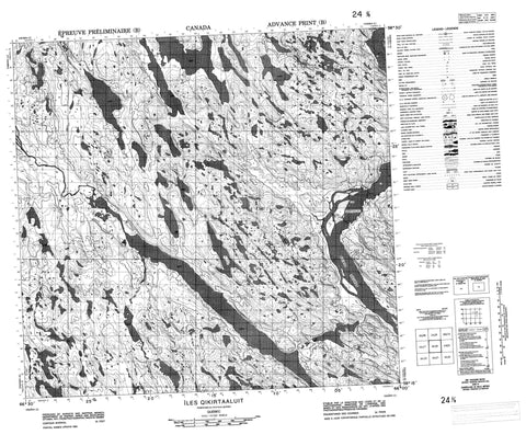
024J08 Iles Qikirtaaluit Canada topo map, 1:50,000 scale
024J08 Iles Qikirtaaluit NRCAN topographic map.
Includes UTM and GPS geographic coordinates (latitude and longitude). This 50k scale map is suitable for hiking, camping, and exploring, or you could frame it as a wall map.
Printed on-demand using high resolution, on heavy weight and acid free paper, or as an upgrade on a variety of synthetic materials.
Topos available on paper, Waterproof, Poly, or Tyvek. Usually shipping rolled, unless combined with other folded maps in one order.
- Product Number: NRCAN-024J08
- Parent Topo: TOPO-024J
- Map ID also known as: 024J08, 24J8, 24J08
- Unfolded Size: Approximately 26" high by 36" wide
- Weight (paper map): ca. 55 grams
- Map Type: POD NRCAN Topographic Map
- Map Scale: 1:50,000
- Geographical region: Nunavut, Canada
Neighboring Maps:
All neighboring Canadian topo maps are available for sale online at 1:50,000 scale.
Purchase the smaller scale map covering this area: Topo-024J
Spatial coverage:
Topo map sheet 024J08 Iles Qikirtaaluit covers the following places:
- Pointe Akiasiuriaq - Pointe Pijuminniq - Île Urpilik - Îles Qikirtaaluit - Lac Kuurukallak - Lac La Roncière - Lac Qamanikuluk - Lac Ternaux - Lac Tujjaraaluk - Lac Ujarasujjulik - Tsheteskushueu - Colline Innarulik - Colline Ujarasujjulik - Rapides Sarvaaluk - Rapides Ulittaniup Killinga - Mushuau Shipu - Pupun Nikau Shipu - Rivière George - Rivière Kangertialuksoak - Rivière Lagrevé - Rivière Sirème


