
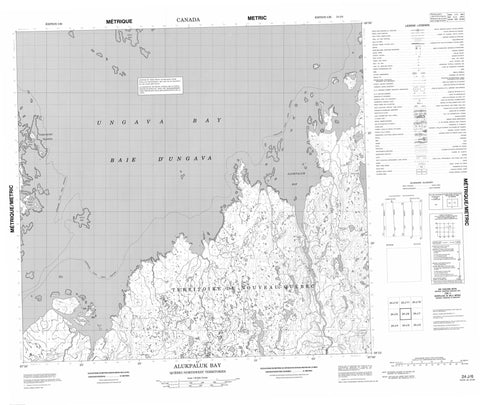
024J06 Alukpaluk Bay Canada topo map, 1:50,000 scale
024J06 Alukpaluk Bay NRCAN topographic map.
Includes UTM and GPS geographic coordinates (latitude and longitude). This 50k scale map is suitable for hiking, camping, and exploring, or you could frame it as a wall map.
Printed on-demand using high resolution, on heavy weight and acid free paper, or as an upgrade on a variety of synthetic materials.
Topos available on paper, Waterproof, Poly, or Tyvek. Usually shipping rolled, unless combined with other folded maps in one order.
- Product Number: NRCAN-024J06
- Parent Topo: TOPO-024J
- Map ID also known as: 024J06, 24J6, 24J06
- Unfolded Size: Approximately 26" high by 36" wide
- Weight (paper map): ca. 55 grams
- Map Type: POD NRCAN Topographic Map
- Map Scale: 1:50,000
- Geographical region: Nunavut, Canada
Neighboring Maps:
All neighboring Canadian topo maps are available for sale online at 1:50,000 scale.
Purchase the smaller scale map covering this area: Topo-024J
Spatial coverage:
Topo map sheet 024J06 Alukpaluk Bay covers the following places:
- Alukpaluk Bay - Baie Alukpaluk - Baie d'Ungava - Baie d'Ungava - Qasirialik Bay - Ungava Bay - Pointe Qasirijaq - Pointe Tuttutuuq - Qikirtaq Nuvukutaalik Point - Ikirasaaluk Channel - Passe Ikirasaaluk - Île Pissiulaarsiti - Mitirlusitiit Islands - Mitirlusitik Island - Nakoaiyet Islands - Pikiulikallak Islet - Qikirtakallak Island - Qikirtaq Nuvukutaalik Island - Ujarasujjulik Island - Upirngivik Island - Utarqiuvik Islet - Uummanaq Islet - Lac Tasiguluk - Lac Tesialuk - Lac Tulaaq - Lac Ursiriq - Colline Inuksulik - Rivière Marraliarusiq - Rivière Marralik - Rivière Mucalic - Rivière Tuctuc - Rivière Tuttutuuq - Ruisseau Kuukuluk - Ruisseau Tulaaq - Ruisseau Ursiriq - Ikkarualuk Reef - Paasuutalik Reef


