
020O09 Comeaus Hill Canada topo map, 1:50,000 scale
020O09 Comeaus Hill NRCAN topographic map.
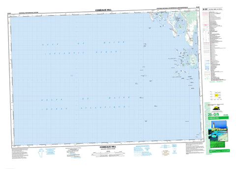
Includes UTM and GPS geographic coordinates (latitude and longitude). This 50k scale map is suitable for hiking, camping, and exploring, or you could frame it as a wall map.
Printed on-demand using high resolution, on heavy weight and acid free paper, or as an upgrade on a variety of synthetic materials.
Topos available on paper, Waterproof, Poly, or Tyvek. Usually shipping rolled, unless combined with other folded maps in one order.
- Product Number: NRCAN-020O09
- Parent Topo: TOPO-020O
- Map ID also known as: 020O09, 20O9, 20O09
- Unfolded Size: Approximately 26" high by 36" wide
- Weight (paper map): ca. 55 grams
- Map Type: POD NRCAN Topographic Map
- Map Scale: 1:50,000
- Geographical region: Nova Scotia, Canada
Neighboring Maps:
All neighboring Canadian topo maps are available for sale online at 1:50,000 scale.
Purchase the smaller scale map covering this area: Topo-020O
Spatial coverage:
Topo map sheet 020O09 Comeaus Hill covers the following places:
- Chebogue Harbour - Flat Island Cove - Goose Bay - Grand Étang Cove - Little River Harbour - St. Martins Harbour - Cook Beach - Cooks Beach - Southeast Breaker - Chebogue Point - Crawleys Head - French Point - Frenchman Point - Garden Head - Holmes Spit - Linnys Head - Northern Head - Owls Head - Pinkney Point - Pinkneys Point - Pompees Head - Robins Head - Shortcliff Point - Shortliffes Point - Southern Head - Southwest Point - Back Channel - Ellenwood Passage - Ellenwoods Channel - Hells Gate - Schooner Passage - The Channel - The Sluice - Tinkhams Channel - Yarmouth - Allen Island - Bald Islands - Bald Tusket Island - Beal Islands - Beal Islands - Beals Island - Big Cook Island - Big Tusket Island - Broomstick Island - Calf Island - Calf Island - Candlebox Island - Chicane Islands - Crawleys Island - Deep Cove Island - Dog Island - Eagle Island - Ellenwood Island - Ellenwoods Island - Flat Island - Fox Island - Green Island - Half Bald Tusket Island - Halibut Head - Harris Island - Haymaker Island - Holmes Island - Inner Bald Tusket Island - Inner Spectacle Island - Jacco Island - Jacquard Island - Johns Island - Little Bald Tusket Island - Little Half Bald Tusket Island - Little Tusket - MacKinnons Island - Marks Island - Mathieu Island - Murder Island - Outer Bald Tusket Island - Owls Head Island - Owls' Head Island - Pease Island - Peases Island - Ram Island - Reef Island - Sheep Islands - Spectacle Islands - St. Helena Island - Tarpaulin Island - The Spindle - Turnip Island - Turpentine Island - Tusket Island - Tusket Islands - Tusket Islands - Upper Calf Island - Black Pond - Crawleys Pond - Grand Étang - Petit Étang - De Viller Hill - Argyle - Yarmouth - Little River - Moore Rip - Outer Bald Rip - Allen Rock - Bartletts Shoal - Bird Rock - Black Ledges - Calf Ledge - Calf Rock - Chebogue Ledge - Chebogue Point Shoal - Cleopatra Shoal - Cow Ledge - Foul Ground - Gannet Dry Ledge - Gannet Northwest Shoal - Gannet Rock - Gannet Rock Bars - Gannet South Shoal - Gannet Southwest Shoal - Harriet Ledge - Harris Ledge - Haymaker Ledge - Hen and Rooster - Jacko Ridge - Jacquards Ridge - Kelp Ledge - Little Bald Tusket Shoal - Lower Gannet Rock - Marks Ledge - Moravian Rock - Morris Shoal - Murder Island Bar - Murder Island Ledge - Murder Island Shoal - North Rock - Old Man - Owls Head Reef - Pease Island Ledge - Peases Island Ledge - Peter Stewarts Rock - Pollock Shoal - Reef Island Bar - Reef Ledge - Reef Shoal - Roaring Bull - Schooner Passage Rock - Soldier Ledge - Soldiers Ledge - South Rock - Southeast Rock - Spectacle Ledge - St. Helena Bar - Chebogue Point - Comeau Hill - Comeaus Hill - Deep Cove Island - Harris Island - Little River Harbour - Pinkney Point - Pinkneys Point


