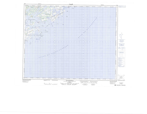
012O01 Ile Bayfield Canada topo map, 1:50,000 scale
012O01 Ile Bayfield NRCAN topographic map.
Includes UTM and GPS geographic coordinates (latitude and longitude). This 50k scale map is suitable for hiking, camping, and exploring, or you could frame it as a wall map.
Printed on-demand using high resolution, on heavy weight and acid free paper, or as an upgrade on a variety of synthetic materials.
Topos available on paper, Waterproof, Poly, or Tyvek. Usually shipping rolled, unless combined with other folded maps in one order.
- Product Number: NRCAN-012O01
- Parent Topo: TOPO-012O
- Map ID also known as: 012O01, 12O1, 12O01
- Unfolded Size: Approximately 26" high by 36" wide
- Weight (paper map): ca. 55 grams
- Map Type: POD NRCAN Topographic Map
- Map Scale: 1:50,000
- Geographical region: Quebec, Canada
Neighboring Maps:
All neighboring Canadian topo maps are available for sale online at 1:50,000 scale.
Purchase the smaller scale map covering this area: Topo-012O
Spatial coverage:
Topo map sheet 012O01 Ile Bayfield covers the following places:
- Anse Clam - Anse du Portage - Anse Harry-Jigger - Anse Sand - Baie Lobster - Baie Lobster - Golfe du Saint-Laurent - Havre Augustin - Havre Bayfield - Havre Cumberland - Havre Saint-Augustin - Pointe du Nord-Est - Pointe Giroux - Pointe Salt - Chenal du Carré - Passage de l'Île au Sable - Passe de la Cabine - Passe de la Marée Haute - Passe de l'Île Cumberland - Passe Eastern - Passe Shoal Tickle - Falaise Rouge - Archipel-de-Kécarpoui - Archipel-de-Saint-Augustin - Archipel de Saint-Augustin - Barrière de Rochers - Carré Saint-Augustin - Grande île Pidgeon - Île Bayfield - Île Brûlée - Île Bursey - Île Clinch - Île Cumberland - Île de la Grande Passe - Île de l'Anse au Portage - Île de l'Entrée - Île des Barreaux - Île des Genévriers - Île Diver - Île Dog - Île du Duc - Île du Plongeur - Île du Vieux Poste - Île Dufour - Île Fishery - Île Frenchmen - Île Galibois - Île Garden - Île George - Île Gull - Île Kennedy - Île Kent - Île Léandre - Île Léon - Île Lessard - Île Lily - Île Longue - Île Louise - Île Margaret - Île Martin - Île Maurice - Île Outer - Île Paul-Nadeau - Île Pay Ticket - Île Ralph - Île Rose - Île Rouge - Île Rudder - Île Sandy - Île Sandy - Île Shag - Île Viola - Île Walter-Kennedy - Îles aux Oeufs - Îles Bateman - Îles Brunes - Îles du Rat Musqué - Îles Duck - Îles Jalobert - Îles Lavallée - Îles Marsal - Îles Muskrat - Îles Saint-Augustin - Îles Tshiahkunukua - Îles Twin - Îlet Andy - Îlet Black - Îlet Blais - Le Pot - Les Trois Rochers - Petite île Pidgeon - Rocher Andrew - Rocher Ball - Rocher Black - Rocher Clinch - Rocher du Duc - Rocher Kent - Rocher Maynard - Rocher Rose - Rocher Shag - Rocher Shattler - Rochers Seal - Lac Salé - Refuge d'oiseaux de Saint-Augustin - Saint-Augustin Bird Sanctuary - Rapides Frank - Banc du Chenal du Carré - Crab Rock - Le Crab Rock - Anse-du-Portage - Havre-Bayfield - L'Anse-du-Portage - Saint-Augustin


