
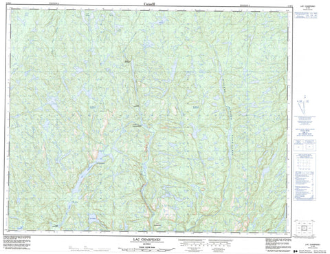
012M04 Lac Charpeney Canada topo map, 1:50,000 scale
012M04 Lac Charpeney NRCAN topographic map.
Includes UTM and GPS geographic coordinates (latitude and longitude). This 50k scale map is suitable for hiking, camping, and exploring, or you could frame it as a wall map.
Printed on-demand using high resolution, on heavy weight and acid free paper, or as an upgrade on a variety of synthetic materials.
Topos available on paper, Waterproof, Poly, or Tyvek. Usually shipping rolled, unless combined with other folded maps in one order.
- Product Number: NRCAN-012M04
- Parent Topo: TOPO-012M
- Map ID also known as: 012M04, 12M4, 12M04
- Unfolded Size: Approximately 26" high by 36" wide
- Weight (paper map): ca. 55 grams
- Map Type: POD NRCAN Topographic Map
- Map Scale: 1:50,000
- Geographical region: Quebec, Canada
Neighboring Maps:
All neighboring Canadian topo maps are available for sale online at 1:50,000 scale.
Purchase the smaller scale map covering this area: Topo-012M
Spatial coverage:
Topo map sheet 012M04 Lac Charpeney covers the following places:
- Baie Kamahkuhiut - Passe Kauapauakaht - Grand lac Shiakoshikakamau - Lac Antan - Lac Charpeney - Lac Coopman - Lac des Caps - Lac Fauteux - Lac Gustave - Lac Pacaud - Lac Raoul - Lac Tshiahk - Petit lac Shiakoshikakamau - Mont Uhukanatshehu - Rivière Mashkamu - Rivière Mingan Nord-Ouest - Rivière Saint-Jean Nord-Est - Rivière Uashekamu - Ruisseau Antan - Ruisseau Kahihtauekau - Portage Kahihtauekas - Portage Kahihtauekau - Portage Kapahkahuaht - Portage Kapapuanapestshepant


