
012K03 Kegashka Canada topo map, 1:50,000 scale
012K03 Kegashka NRCAN topographic map.
Includes UTM and GPS geographic coordinates (latitude and longitude). This 50k scale map is suitable for hiking, camping, and exploring, or you could frame it as a wall map.
Printed on-demand using high resolution, on heavy weight and acid free paper, or as an upgrade on a variety of synthetic materials.
Topos available on paper, Waterproof, Poly, or Tyvek. Usually shipping rolled, unless combined with other folded maps in one order.
- Product Number: NRCAN-012K03
- Parent Topo: TOPO-012K
- Map ID also known as: 012K03, 12K3, 12K03
- Unfolded Size: Approximately 26" high by 36" wide
- Weight (paper map): ca. 55 grams
- Map Type: POD NRCAN Topographic Map
- Map Scale: 1:50,000
- Geographical region: Quebec, Canada
Neighboring Maps:
All neighboring Canadian topo maps are available for sale online at 1:50,000 scale.
Purchase the smaller scale map covering this area: Topo-012K
Spatial coverage:
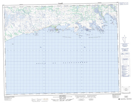
Topo map sheet 012K03 Kegashka covers the following places:
- Anse à Joe - Anse aux Huîtres - Anse Muddy - Baie aux Huîtres - Baie de Kégashka - Baie de Kegaska - Baie du Français - Baie Kauahinekaut - Baie Pepihtnahu - Baie Uhatikamekuat - Golfe du Saint-Laurent - Havre de Kegaska - Havre Kégashka - Havre Mistassini - Plage Mistanekau - La Tête d'Ours - Pointe à Bertrand - Pointe à Joe - Pointe Curlew - Pointe de Kégashka - Pointe de Kegaska - Pointe des Jenniss - Pointe du Cap Rouge - Pointe Musquaro - Étroit du Français - Archipel-de-Washicoutai - Kégashka - Kegaska - Lalande - Musquaro - Archipel de Washicoutai - Île de Kégashka - Île de Kegaska - Île de la Ligne du Télégraphe - Île du Bonnet - Île du Renard - Île Kainipekutihk - Île Kakatshihipinukut - Île Ketshinukuteuat - Île Menahkunakat - Île Noire - Île Parsons - Île Tshiahkuehihat - Île Tshinahat - Île Verte - Îles Iskueakuaniskuaih - Îles Kahakaut - Îles Kippin - Îles Mantuh - Îles Naniuepitam - Îles Pehkuhkat - Îles Uhatshistsh - Rocher du Ruisseau - Rocher Mistahini - Rochers Ehkuahinium - Mont Hatsheuiat Tshehkahkau - Petite rivière Kegaska - Rivière à Sam - Rivière Belley - Rivière Clay - Rivière de l'Anse Muddy - Rivière Kégashka - Rivière Kegaska - Rivière Longue - Rivière Musquanousse - Rivière Musquaro - Ruisseau du Rocher Rouge - Haut-fond Court - Haut-fond Parsons - Kégashka - Kegaska - Kegaska - Musquaro


