
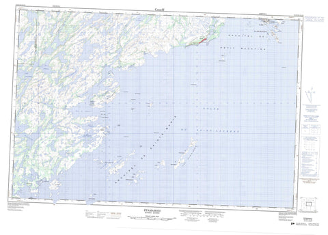
012J05 Etamamiou Canada topo map, 1:50,000 scale
012J05 Etamamiou NRCAN topographic map.
Includes UTM and GPS geographic coordinates (latitude and longitude). This 50k scale map is suitable for hiking, camping, and exploring, or you could frame it as a wall map.
Printed on-demand using high resolution, on heavy weight and acid free paper, or as an upgrade on a variety of synthetic materials.
Topos available on paper, Waterproof, Poly, or Tyvek. Usually shipping rolled, unless combined with other folded maps in one order.
- Product Number: NRCAN-012J05
- Parent Topo: TOPO-012J
- Map ID also known as: 012J05, 12J5, 12J05
- Unfolded Size: Approximately 26" high by 36" wide
- Weight (paper map): ca. 55 grams
- Map Type: POD NRCAN Topographic Map
- Map Scale: 1:50,000
- Geographical region: Quebec, Canada
Neighboring Maps:
All neighboring Canadian topo maps are available for sale online at 1:50,000 scale.
Purchase the smaller scale map covering this area: Topo-012J
Spatial coverage:
Topo map sheet 012J05 Etamamiou covers the following places:
- Baie Bussière - Baie de l'Ouest - Baie du Nord - Golfe du Saint-Laurent - Havre Blais - Havre Hamel - Havre Jolliet - Havre Nazaire - Havre Yankee - Pointe à Maurier - Pointe au Mourier - Pointe Sealnet - Détroit Watagheistic - Passe aux Canots - Archipel-de-Sainte-Marie - Baune - Charnay - Archipel de Sainte-Marie - Île à la Butte - Île à la Pruche - Île aux Amers - Île aux Mouches - Île Beacon - Île de l'Anse - Île Fly - Île Hemlock - Île Matagheistic - Île Matchiatic - Île Mound - Île Sainte-Marie - Île Washtamaska - Île Watagheistic - Îles aux Loups Marins - Îles aux Perroquets - Îles Boat - Îles Cliff - Îles Galibois - Îles Mariannes - Îles Middle - Îles Nétagamiou - Îles Sainte-Marie - Îles Southwest - Rocher Bold - Rocher Kettle - Rocher Montcalm - Rochers Bare - Lac Atauakamau - Lac de la Montagne Boisée - Lac Foucher - Lac Gagnon - Lac Gaine à la Bombe - Lac Katshipuht - Lac La Fontaine - Lac Salé - Lac Volant - Petit lacGagnon - Basse-Côte-Nord - Île Sainte-Marie Bird Sanctuary - Refuge d'oiseaux des Îles Sainte-Marie - Rivière à Fortier - Rivière à la Croix - Rivière Darby - Rivière Derby - Rivière Étamamiou - Rivière Nétagamiou - Récif Cutter - Récif du Centre - Récifs Noirs - Récifs Tender - Bellecourt - Chevery - Chevery - Cross River - Étamamiou - Les Îles-Sainte-Marie - Netagamu River - Pointe-à-Maurier - Rivière-Étamamiou - Saint-Mary-Islands - Utatnun Kaiahtet Uhakatshuku - Côte-Nord-du-Golfe-du-Saint-Laurent - Côte-Nord-du-Golfe-Saint-Laurent


