
011K11 Cheticamp Canada topo map, 1:50,000 scale
011K11 Cheticamp NRCAN topographic map.
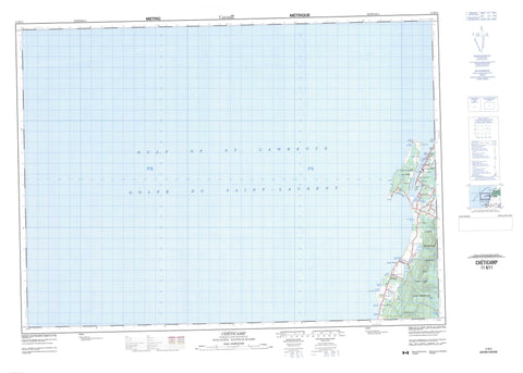
Includes UTM and GPS geographic coordinates (latitude and longitude). This 50k scale map is suitable for hiking, camping, and exploring, or you could frame it as a wall map.
Printed on-demand using high resolution, on heavy weight and acid free paper, or as an upgrade on a variety of synthetic materials.
Topos available on paper, Waterproof, Poly, or Tyvek. Usually shipping rolled, unless combined with other folded maps in one order.
- Product Number: NRCAN-011K11
- Parent Topo: TOPO-011K
- Map ID also known as: 011K11, 11K11
- Unfolded Size: Approximately 26" high by 36" wide
- Weight (paper map): ca. 55 grams
- Map Type: POD NRCAN Topographic Map
- Map Scale: 1:50,000
- Geographical region: Nova Scotia, Canada
Neighboring Maps:
All neighboring Canadian topo maps are available for sale online at 1:50,000 scale.
Purchase the smaller scale map covering this area: Topo-011K
Spatial coverage:
Topo map sheet 011K11 Cheticamp covers the following places:
- Anse à Bois Meré - Anse à Digue - Anse à Frédéric - Anse à Petit Homme - Anse des Abraham - Anse des Basile - Anse des Dosithée - Anse des Fribert - Anse des Philibert - Chéticamp Harbour - Golfe du Saint-Laurent - Grand Étang Harbour - Gulf of St. Lawrence - Redman Basin - Chéticamp Beach - Cap Le Moine - Cap Le Moine - Caveau Point - Chéticamp Point - Enrage Cape - Enragée Point - Friar Point - Friars Head - Gros Cap - Grosse Tête - La Pointe - Le Platin - Les Caps - Pointe du Havre - Pointe Enragée - The Capes - Inverness - Juste au Corps - Cape Breton Island - Chéticamp Island - Île du Cap-Breton - Angus Lake - Dosite Lake - Grand Etang - Grand Étang - Grand Lac - Lac des Dosithée - Pembroke Lake - Petit Lac - Point Cross Pond - Squirrel Pond (Grand Etang) - Squirrel Mountain - Inverness - Factory Brook - Farm Brook - Fiset Brook - Fisset Brook - Grand Etang Brook - Grand Étang Brook - Pembroke Brook - Ruisseau de l'Île - Ruisseau des Basile - Ruisseau du Lac - Caveau Shoals - Cap Le Moine - Cap Lemoyne - Chéticamp - Chéticamp Island - Friars Head - Grand Etang - Grand Étang - Grand-Etang - Grand-Étang - La Pointe - La-Pointe - Plateau - Point Cross - St. Joseph du Moine - St-Joseph-du-Moine


