
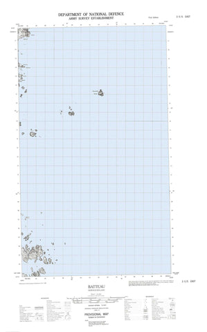
003E05E Batteau Canada topo map, 1:50,000 scale
003E05E Batteau NRCAN topographic map.
Includes UTM and GPS geographic coordinates (latitude and longitude). This 50k scale map is suitable for hiking, camping, and exploring, or you could frame it as a wall map.
Printed on-demand using high resolution, on heavy weight and acid free paper, or as an upgrade on a variety of synthetic materials.
Topos available on paper, Waterproof, Poly, or Tyvek. Usually shipping rolled, unless combined with other folded maps in one order.
- Halfsheet: This map was designed as a half sheet of NRCAN-003E05, and it is the Eastern half. Find the western half sheet here.
- Product Number: NRCAN-003E05E
- Parent Topo: TOPO-003E
- Map ID also known as: 003E05, 03E5, 3E5, 03E05, 3E05
- Unfolded Size: Approximately 26" high by 36" wide
- Weight (paper map): ca. 55 grams
- Map Type: POD NRCAN Topographic Map
- Map Scale: 1:50,000
- Geographical region: Newfoundland and Labrador, Canada
Neighboring Maps:
All neighboring Canadian topo maps are available for sale online at 1:50,000 scale.
Purchase the smaller scale map covering this area: Topo-003E
Spatial coverage:
Topo map sheet 003E05E Batteau covers the following places:
- Bateau Harbour - Batteau Harbour - Black Bear Bay - Corbet Harbour - Domino Harbour - Open Bay - Penny Hook Cove - Porcupine Bay - Porcupine Harbour - Punchbowl - Rocky Bay - Salmon Bight - Sandy Bay - Shoal Bay - Spotted Island Harbour - Webber Harbour - Wild Bight - Withecombe Cove - American Point - Bed Head - Chair Head - Domino Point - Gunning Point - Herring Point - Little Black Head - Man of War Point - Mistaken Point - Mustering Point - Red Point - Red Point - Rocky Point - Shoal Point - South Black Head - Southeast Point - Tatters Point - Turner Head - Whaling Point - Withecombe Point - Black Tickle - Frenchmans Run - Big Pig Island - Bombproof Island - Bradbury Island - Bryan Island - Carrol Island - Castle Dermot - Cod Bag Islets - Corbet Island - Deepwater Island - Dog Island - Entry Island - Fish Island - Flat Island - Goss Island - Green Island - Green Island - Green Island - Gurney Island - Hat Island - Island of Ponds - Keefe Island - Mark Islands - Murr Island - North Three Islands - Paine Island - Porcupine Island - Queer Island - Red Island - Rogers Island - Roundhill Island - Saddle Islands - Salter Island - Sandy Islands - Shoal Bay Island - Spotted Island - Walker Island - Domino Run - Black Bear River - American Rock - Black Rock - Black Rocks - Caleb Shoal - Cosgrave Rocks - East Bank - Eastern Rock - Gushue Rock - Herring Bank - High Hat Rock - High Rat Rock - Middle Ground - North Black Rock - Northeast Rock - O'Neale Rock - Saddle Banks - Shag Rocks - South Black Rock - The Chair - The Flats - Timber Rocks - Toole Rock - White Rock - Batteau - Black Tickle - Black Tickle-Domino - Domino - Red Point - Salmon Bight - Spotted Island


