
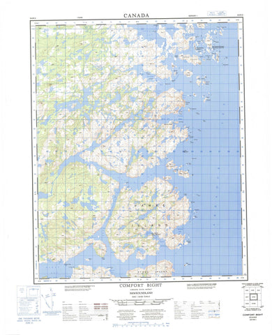
003E04 Comfort Bight Canada topo map, 1:50,000 scale
003E04 Comfort Bight NRCAN topographic map.
Includes UTM and GPS geographic coordinates (latitude and longitude). This 50k scale map is suitable for hiking, camping, and exploring, or you could frame it as a wall map.
Printed on-demand using high resolution, on heavy weight and acid free paper, or as an upgrade on a variety of synthetic materials.
Topos available on paper, Waterproof, Poly, or Tyvek. Usually shipping rolled, unless combined with other folded maps in one order.
- Product Number: NRCAN-003E04
- Parent Topo: TOPO-003E
- Map ID also known as: 003E04, 03E4, 3E4, 03E04, 3E04
- Unfolded Size: Approximately 26" high by 36" wide
- Weight (paper map): ca. 55 grams
- Map Type: POD NRCAN Topographic Map
- Map Scale: 1:50,000
- Geographical region: Newfoundland and Labrador, Canada
Neighboring Maps:
All neighboring Canadian topo maps are available for sale online at 1:50,000 scale.
Purchase the smaller scale map covering this area: Topo-003E
Spatial coverage:
Topo map sheet 003E04 Comfort Bight covers the following places:
- American Cove - Caplin Bay - Comfort Bight - Duck Cove - Eagle Cove - Frenchmans Harbour - George Harbour - Hawke Bay - Hawke Harbour - Hill Harbour - Hills Harbour - Holloway Bight - Partridge Bay - Penguin Harbour - Penny Harbour - Punchbowl - Rocky Bay - Salt Pond - Scrape Cove - Shoal Bay - Sloop Harbour - Styles Harbour - The Harbour - Wild Bight - Cox Head - Fish Point - Owl Head - Partridge Head - American Tickle - Frenchmans Run - Squasho Run - American Island - Bear Island - Bear Islands - Big Island - Copper Island - Cox Island - Crow Island - Deepwater Island - Deepwater Island - Dog Island - Duck Islands - Entry Island - Fish Island - Flat Island - Flat Island - Fling Islands - Fox Islands - Frenchmans Island - Greens Island - Gulnare Island - Hare Island - Harper Island - Haven Islet - Hawke Island - Hiscock Islands - Kennedy Island - Ledge Island - Long Island - Old Jeff Island - Pig Island - Pigeon Island - Red Island - Red Island - Red Island - Seal Island - Seine Island - Sleepy Island - South Gulnare Island - South Three Islands - Sparrowbill Island - Stag Island - Stony Island - The Brandies - The Ravens - The Sugar Loaf - Transport Island - Sugarloaf - Labrador Sea - Mer du Labrador - Ambush Rock - Black Rock - Black Rock - Bobby Rocks - Boulter Rock - Connors Rocks - Crow Island Rocks - Dawley Bank - Dorothy Square - Flat Island Rock - Flat Rocks - Locks Rock - Louse Rock - Mad Moll - No-mans-land - Old King - Pollo Rock - South Bantam - The Cobbler - The Feather Bed - The Hump - The Pippies - The Planter - The Squire - Turr Rocks - Comfort Bight - Frenchmans Island - Hawke Harbour - Seal Islands Harbour


