
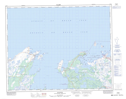
002M12 Raleigh Canada topo map, 1:50,000 scale
002M12 Raleigh NRCAN topographic map.
Includes UTM and GPS geographic coordinates (latitude and longitude). This 50k scale map is suitable for hiking, camping, and exploring, or you could frame it as a wall map.
Printed on-demand using high resolution, on heavy weight and acid free paper, or as an upgrade on a variety of synthetic materials.
Topos available on paper, Waterproof, Poly, or Tyvek. Usually shipping rolled, unless combined with other folded maps in one order.
- Product Number: NRCAN-002M12
- Parent Topo: TOPO-002M
- Map ID also known as: 002M12, 02M12, 2M12
- Unfolded Size: Approximately 26" high by 36" wide
- Weight (paper map): ca. 55 grams
- Map Type: POD NRCAN Topographic Map
- Map Scale: 1:50,000
- Geographical region: Newfoundland and Labrador, Canada
Neighboring Maps:
All neighboring Canadian topo maps are available for sale online at 1:50,000 scale.
Purchase the smaller scale map covering this area: Topo-002M
Spatial coverage:
Topo map sheet 002M12 Raleigh covers the following places:
- Barr Island Cove - Boat Harbour - Bonne Bay - Cailloux Bay - Canards Cove - Cape Norman Bay - Carpon Cove - Christine Cove - Cooks Harbour - Diable Cove - Epaves Bay - Flat Cove - Ha Ha Bay - Hay Cove - Islands Bay - Isthmus Cove - L'Anse aux Meadows - Little Harbour - Maria Bay - Marie Cove - Medee Bay - Neige Bay - Northwest Bay - Onion Cove - Open Bay - Pistolet Bay - Pond Cove - River Bay - Rudder Cove - Sacred Bay - Savage Cove - Savage Cove - Schooner Cove - Shallow Bay - Soup Bay - South Road - Square Bay - West Road - Beak Point - Boat Head - Burnt Cape - Cape Ardoise - Cape Artimon - Cape Norman - Cape Onion - Cooks Point - Curlew Point - Falaise Point - Fauvette Point - Franche Point - Gray Point - Ha Ha Point - Hamel Point - Isthmus Point - Long Point - Milan Point - Piton Point - Triangle Point - Trompe l'Oeil Point - Vaches (Cow) Point - Whale Point - Whale Cave - Boat Channel - Détroit de Belle Isle - The Mewstone - Black Island - Black Island - Boisee Islands - Burnt Island - Fauvette Island - Great Sacred Island - Green Island - Green Island - Green Island - Hostis Island - Little Sacred Island - Long Island - Low Islands - Moyacs Islands - Onion Island - Prosper Island - Schooner Island - Twin Islands - Verte Island - Warrens Island - Wreck Island - Black Duck Pond - Butts Pond - Crooked Lead Pond - Duck Pond - Duck Pond - Eastern Brook Steady - Eastern Pond - Gap Pond - Gull Pond - Island Pond - John Ryans Pond - Lead Pond - Long Gull Pond - Long Pond - Mouse Hole Pond - Otter Pond - Parkers Pond - Salt Lake - Seamans Pond - Second Pond - Stinker Pond - Third Pond - Trout Pond - Watch Pond - Ha Ha Mountain - Burnt Cape Ecological Reserve - L'Anse aux Meadows National Historic Site of Canada - L'Anse aux Meadows National Historic Site World Heritage Site - Lieu historique national duCanada de L'Anse aux Meadows - Pistolet Bay Provincial Park - Site du patrimoine mondial du Lieu historique national de L'Anse aux Meadows - Black Duck Brook - Lake River - Barracks Rocks - Bon Gars - Cooks Rocks - Flat Rock - Green Island Shoal - Le Grand Mulou - Le Grand Mulou - Maria Reefs - Maudit Bank - Mauvais Gars - Norman Rock - Petit Gars - Priest Rock - Cook's Harbour - Raleigh - St. Lunaire-Griquet - Boat Harbour - Cape Norman - Cape Onion - Caplin Gulch - Cooks Harbour - L'Anse aux Meadows - L'Anse-au-Meadow - North Boat Harbour - Ship Cove - Spillar's Cove - Wild Bight


