Free Shipping on map orders over $300
Kefalonia, Greece Road Map
Keku Strait-Monte Carlo Island to Entrance Island; The Summit; Devils Elbow (17372-12) by NOAA
Keku Strait-northern part, including Saginaw and Security Bays and Port Camden; Kake Inset (17368-8) by NOAA
Kelso, Longview, Chehalis, Cowlitz County and Lewis County, Washington by GM Johnson
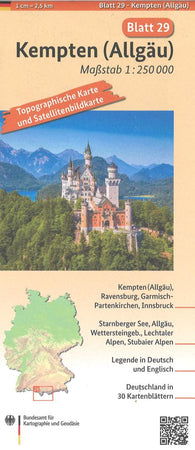
Kempten (Allgäu) 1:250 000, blatt 29
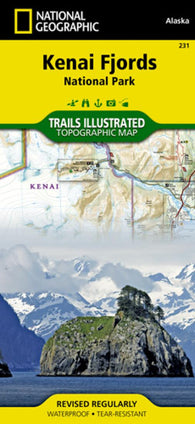
Kenai Fjords National Park, Map 231 by National Geographic Maps
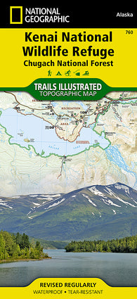
Kenai National Wildlife Refuge and Chugach National Forest, Map 760
Kenai National Wildlife Refuge and Chugach National Forest, Map 760 by National Geographic Maps
Kendrick Bay to Shipwreck Point, Prince of Wales Island (17433-12) by NOAA
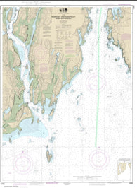
Kennebec and Sheepscot River Entrances (13295-12) by NOAA
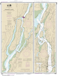
Kennebec River Bath to Courthouse Point (13298-11) by NOAA
Kennebec River Courthouse Point to Augusta (13297-11) by NOAA
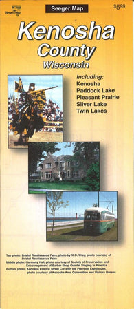
Kenosha County, Wisconsin by The Seeger Map Company Inc.
Kentuck Lake (Vilas Co) Fishing Map
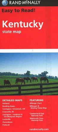
Kentucky : state map : easy to read!
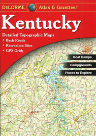
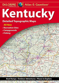
Kentucky Atlas and Gazetteer
Kentucky by Rand McNally
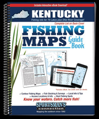
Kentucky Fishing Map Guide
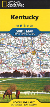
Kentucky GuideMap
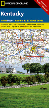
Kentucky GuideMap by National Geographic Maps
Kentucky Lake-Central (Blood River to Big Sandy - TN/KY) Fishing Map
Kentucky Lake-North (Kentucky Dam to KY/TN Line) Fishing Map
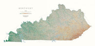
Kentucky [Physical, 29x58, Laminated]
Kentucky [Physical, 29x58]
Kentucky, Atlas and Gazetteer by DeLorme
Kentucky, Easy to Fold by Rand McNally
Kentucky, Physical Wall Map by Raven Maps
Kentucky, Physical, Laminated Wall Map by Raven Maps
Kentucky, State Map by Five Star Maps, Inc.
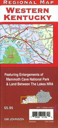
Kentucky, Western, Back Roads by GM Johnson
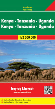
Kenya - Tanzania - Uganda - Rwanda, road map 1:2.000.000
Kenya Adventure Map 3205
Kenya Adventure Map 3205 by National Geographic Maps
Kenya and Tanzania by Cartographia
Kenya and the Serengeti, Tanzania by Nelles Verlag GmbH
Kenya by Freytag-Berndt und Artaria
Kenya by Marco Polo Travel Publishing Ltd
Kenya by Reise Know-How Verlag
Kenya FlexiMap by Kunth Verlag


![Buy map Kentucky [Physical, 29x58, Laminated]](http://store.yellowmaps.com/cdn/shop/products/big_2a9ea46f-25f9-47d3-a0e4-3941b7ee8f37_195x.jpg?v=1706819388)
![Buy map Kentucky [Physical, 29x58]](http://store.yellowmaps.com/cdn/shop/products/big_49926534-53e4-4d63-bef8-8f1ede489331_195x.jpg?v=1706819392)