
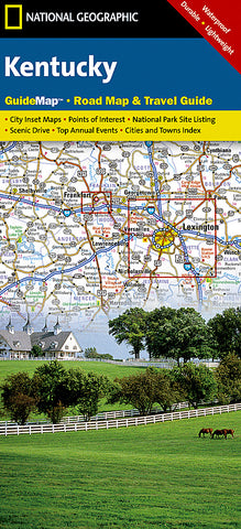
Kentucky GuideMap by National Geographic Maps
Click to Zoom (high resolution)
Waterproof, tear-resistant, guide/road map of Kentucky.
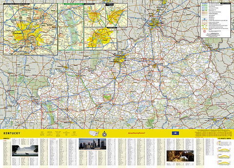
The front side is an easy-to-read road map with insets of Covington, KY, Cincinnati, OH, Land Between the Lakes, Owensboro, Bowling Green, and Frankfort.
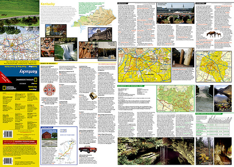
The back includes:
- Maps and information for Louisville and Lexington
- Points of interest
- Information for Mammoth Cave National Park
- Scenic drive
- Park Service sites for Kentucky
- Product Number: 2034488M
- Product Code: NG_GM_KY
- Publisher Product ID: GM01020352
- ISBN: 9781597751599
- Year of Publication: 2007
- Folded Size: 9.06 x 4.33 inches
- Unfolded Size: 13.58 x 24.8 inches
- Map type: Folded Map
- Geographical region: Kentucky


