Free Shipping on map orders over $300
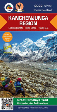
Kanchenjunga Region, Nepal Trekking Map
Kane Basin to Lincoln Sea by Canadian Hydrographic Service
Kangeeak Point and Approaches by Canadian Hydrographic Service
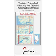
Kangerlussuaq hiking map
Kangok Fiord and Approaches/et les Approches by Canadian Hydrographic Service
Kaniksu National Forest Map -Waterproof
Kankakee River (IL/IN Line to Illinois River) Fishing Map
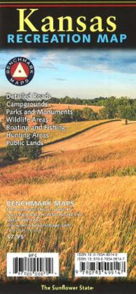
Kansas : recreation map
Kansas and Nebraska, Easy to Fold
Kansas and Nebraska, Easy to Fold by Rand McNally
Kansas by Five Star Maps, Inc.
Kansas by Rand McNally
Kansas City and Vicinity, Missouri and Kansas by The Seeger Map Company Inc.
Kansas City, Missouri
Kansas City, Missouri by Rand McNally
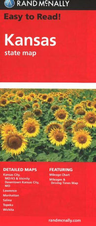
Kansas Easy-to-Read Folded Map
Kansas Recreation Map by Benchmark Maps
Kansas [Physical, 35x58, Laminated]
Kansas [Physical, 35x58]
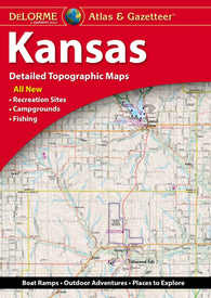
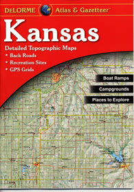
Kansas, Atlas and Gazetteer
Kansas, Atlas and Gazetteer by DeLorme
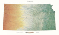
Kansas, Physical Wall Map by Raven Maps
Kansas, Physical, Laminated Wall Map by Raven Maps
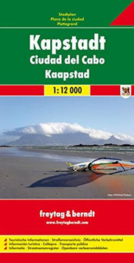
Kapstadt = Ciudad del Cabo = Kaapstad
Kara Sea To Bering Strait (Arctic) (NGA-800-4) by National Geospatial-Intelligence Agency
Karachi To Bombay (India) (NGA-63000-13) by National Geospatial-Intelligence Agency
KARAMEA RIVER TO STEPHENS ISLAND (61) by Land Information New Zealand (LINZ)
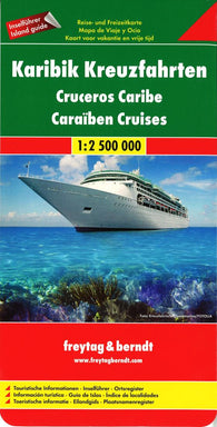
Karigik Kreuzfahrten = Cruceros Caribe = Caraiben cruises
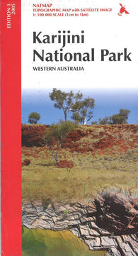
Karijini National Park
KARLSØY - FLATVÆRET - GÅSAN (92) by Kartverket
KARMSUND - RYVARDEN (17) by Kartverket
KARMSUNDET OG KÅRSTØ (491) by Kartverket
Kärnten • Osttirol, 1:200.000, Poster = Carinthia • East Tyrol, 1:200,000, wall map
Kärntner Lakes - Karawanken - Villach - Klagenfurt am Wörthersee, Wander + Radkarte 1:50,000, WK 0233
Karntner Seen and Saualpe, WK 23 by Freytag-Berndt und Artaria
Kärntner Seen, Villach, Klagenfurt, WK 233 by Freytag-Berndt und Artaria
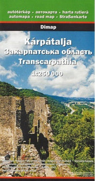
Kárpátalja = Transcarpathia
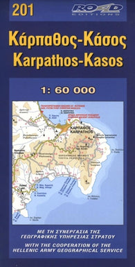
Karpathos and Kasos, Greece by Road Editions
Karwendel Mittenwald, WK 323 by Freytag-Berndt und Artaria


![Buy map Kansas [Physical, 35x58, Laminated]](http://store.yellowmaps.com/cdn/shop/products/big_5bd238aa-b913-4dd5-8548-9f548aff7195_195x.jpg?v=1706819381)
![Buy map Kansas [Physical, 35x58]](http://store.yellowmaps.com/cdn/shop/products/big_b8f09885-d44d-497e-adac-9f582c4415f5_195x.jpg?v=1706819385)