Free Shipping on map orders over $300
Caribbean Fish Card, Virgin Islands Reef Creatures 2010 by Frankos Maps Ltd.
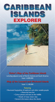
Caribbean Islands : explorer
Caribbean Islands Explorer Map by Ocean Explorer Maps
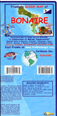
Caribbean Map, Bonaire Guide and Dive, folded, 2008 by Frankos Maps Ltd.
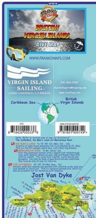
Caribbean Map, British Virgin Islands, folded
Caribbean Map, British Virgin Islands, folded, 2009 by Frankos Maps Ltd.
Caribbean Map, British Virgin Islands, laminated, 2011 by Frankos Maps Ltd.
Caribbean Map, Cancun Guide and Dive, laminated, 2008 by Frankos Maps Ltd.
Caribbean Map, Caribbean Sea Guide, folded, 2011 by Frankos Maps Ltd.
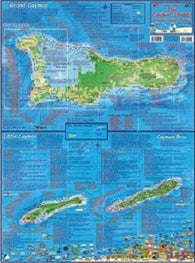
Caribbean Map, Cayman Islands, laminated, 2008 by Frankos Maps Ltd.
Caribbean Map, Cozumel Dive and Guide, laminated, 2010 by Frankos Maps Ltd.
Caribbean Map, Cozumel Guide and Dive, folded, 2011 by Frankos Maps Ltd.
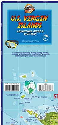
Caribbean Map, US Virgin Islands Guide and Dive, folded, 2015
Caribbean Map, US Virgin Islands Guide and Dive, folded, 2015 by Frankos Maps Ltd.
Caribbean Map, US Virgin Islands Guide and Dive, laminated, 2009 by Frankos Maps Ltd.
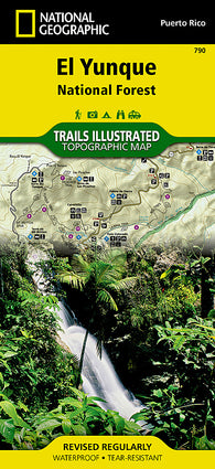
Caribbean National Forest, Puerto Rico, Map 790 by National Geographic Maps
Caribbean Sea - Eastern Part (NGA-25001-7) by National Geospatial-Intelligence Agency
Caribbean Sea - Northwest Part (NGA-28004-1) by National Geospatial-Intelligence Agency
Caribbean Sea - Southwest Part (NGA-28006-1) by National Geospatial-Intelligence Agency
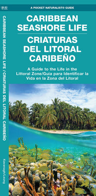
Caribbean Seashore Life / Criaturas Del Litoral Caribeño
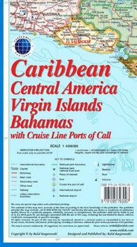
Caribbean, Central America, Virgin Islands, and Bahamas by Kasprowski Publisher
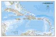
Caribbean, Classic, Laminated by National Geographic Maps
Caribbean, Classic, sleeved by National Geographic Maps
Caribbean, Northern Guidemap by MapEasy, Inc.
Caribbean, Southern Guidemap by MapEasy, Inc.
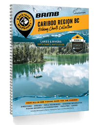
Cariboo Region BC Fishing Mapbook
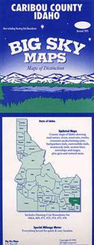
Caribou County, Idaho by Big Sky Maps
Caribou Harbour by Canadian Hydrographic Service
Caribou Island to Michipicoten Island by Canadian Hydrographic Service
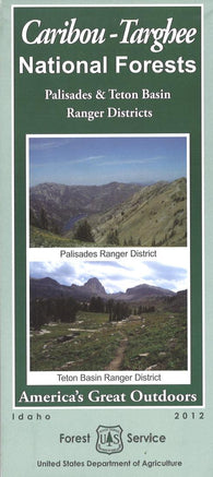
Caribou-Targhee National Forest Map
Carinthia - East Tyrol, hiking map set 1:50,000
Carinthia - East Tyrol, road map 1:200,000
Carinthia - Northern Adriatic, road map 1:200,000
Carinthia, Northern Adriatic Sea, Road Map by Freytag-Berndt und Artaria
Carinthia, Road, Cycling and Leisure by Freytag-Berndt und Artaria
Carleton Island to/au Charity Shoal by Canadian Hydrographic Service
Carlow, Kilkenny, Waterford, Wexford, Ireland Discovery Series #76
Carlsbad : Roswell : Hobbs : city street map = Roswell : Carlsbad : Hobbs : city street map
Carlsbad Caverns National Park, New Mexico, Map 247 by National Geographic Maps
Carlsbad, Roswell and Hobbs, New Mexico by GM Johnson