
Caribbean Islands Explorer Map by Ocean Explorer Maps
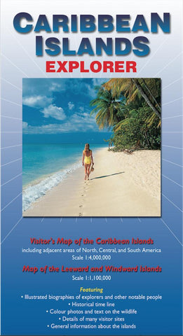
This map is designed to appeal to passengers on Caribbean cruises, but should also be of interest to those exploring the Caribbean in other ways. The map includes the adjacent mainland areas of North, Central and South America at a scale of 1:4000000. On the reverse side, there is an enlarged map of the Leeward and Windward Islands at a scale of 1:1100000. Special features include a timeline charting the regions history, from its discovery by Columbus in 1492 to the present day, and illustrated biographical notes on some 22 notable explorers, rulers, writers, artists and others who have influenced the regions history and development. Various other aspects of the Caribbeans history and geography are discussed, from slavery and sugar cane production to hurricanes, volcanic eruptions and Rastafarianism. There is also a substantial section on the regions wildlife and plants and thumbnail descriptions of the most important islands and their visitor attractions.
- Product Number: 2037106M
- Product Code: OE_CARIB
- ISBN: 9780954371708
- Year of Publication: 2003
- Folded Size: 9.06 x 5.12 inches
- Unfolded Size: 25.98 x 38.58 inches
- Map type: Folded Map
- Geographical region: Miscellaneous


