New Map of Tarangire National Park : wet season : dry season
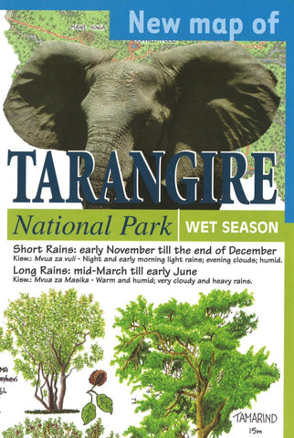
This map of Tarangire National Park in wet season and in dry season provides the feeling of wilderness experienced in the park. Shows vegetation density, road conditions, game-drives and landmarks. The average locations of the wildlife migration are indicated on the wet season side of the map.
- Product Number: MACO_TARANGIR_10
- Reference Product Number: 2034939M
- ISBN: 9780783424453
- Date of Publication: 6/1/2010
- Unfolded (flat) Size: 12.6 inches high by 24.41 inches wide
- Map format: Folded
- Map type: Trade Maps - Park
- Geographical region: Tanzania

