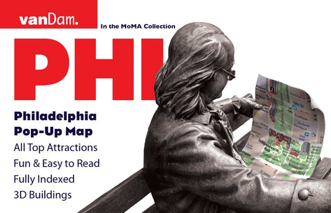
PHI: Philadelphia Pop-Up Map
VanDams patented Philadelphia Pop-Up maps all of Philadelphia s attractions, neighborhoods, museums, hotels, historic sites, and more all at an immensely legible scale complete with 3-D building illustrations. Each map unfolds to 12 times its original size, then refolds automatically when the covers are closed. Size open is 8.5 x 11 per section; 3.75 x 6 closed. Eminently clear information design allows users to read the map from three feet away and has earned VanDam maps a place in the MoMA Collection. The map is laminated and easily fits into your shirt pocket or purse.
Coverage includes: Main Philadelphia City Street Map 1:14,000; Philadelphia Area Map 1:190,000 Independence National Historical Park Map 1:8,500 Philadelphia SEPTA Transit Map
Philadelphia Pop-Up includes a stunning dimensional detail of Penns Landing, Independence Historical National Park, Center City, and University City. Edition also includes a map of Metro Philadelphia and SEPTA Regional Transit. You can f
- Product Number: VD_POP_PHILA_16
- Reference Product Number: - None -
- ISBN: 9781934395868
- Date of Publication: 6/1/2016
- Folded Size: 4 inches high by 9 inches wide
- Unfolded (flat) Size: 8.5 inches high by 9 inches wide
- Map format: Folded
- Map type: Trade Maps - City Maps
- Geographical region: United States
- Geographical subregion: Pennsylvania


