1889 North Carolina Tennessee Cumerberland Blue Ridge
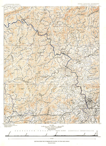
Published in October 1889, the North Carolina-Tennessee: Asheville Sheet map shows the area from the Cumberland Plateau to the Blue Ridge Mountains. This intricately drawn map shows the city of Asheville and other towns throughout the region. A unique historical map for collectors.
- Product Number: PODHNG_US_CUMB_89
- Reference Product Number: 2321658M
- ISBN: - None -
- Date of Publication: ###############################################################################################################################################################################################################################################################
- Unfolded (flat) Size: 21.75 inches high by 15.75 inches wide
- Map format: Wall
- Map type: Trade Maps - Wall Art
- Geographical region: United States
- Geographical subregion: North Carolina


