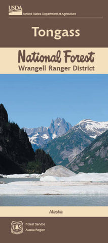
TONGASS NF WRANGELL RANGER DISTRICT, AK
Welcome to the Wrangell Ranger District! The 1.7 million-acre Wrangell Ranger District is centrally located in the mist-shrouded Alexander Archipelago in Southeast Alaska. The district is comprised of Wrangell, Etolin, and Zarembo islands along with numerous smaller islands, and a portion of the mainland including the Stikine River extending to the Canadian border.
This district map provides detailed information about recreational opportunities such as hiking
- Product Number: USFS_WRANGELL_15
- Reference Product Number: - None -
- ISBN: 9781593519414
- Date of Publication: 6/1/2015
- Folded Size: 9.25 inches high by 4 inches wide
- Unfolded (flat) Size: 31.5 inches high by 28 inches wide
- Map format: Folded
- Map type: Trade Maps - Park
- Geographical region: United States
- Geographical subregion: Alaska


