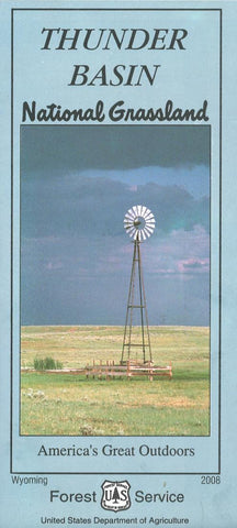
Thunder Basin National Grassland
This topographic map covers Thunder Basin National Forest in Wyoming. The map is printed on one side of the waterproof paper, while the reverse features information about the area.
- Product Number: USFS_THUNDER_8
- Reference Product Number: 2301841M
- ISBN: 9781593511319
- Date of Publication: 6/1/2008
- Folded Size: 9 inches high by 4 inches wide
- Unfolded (flat) Size: 44 inches high by 27 inches wide
- Map format: Folded
- Map type: Trade Maps - Park
- Geographical region: United States
- Geographical subregion: Wyoming


