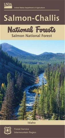
Salmon-Challis National Forest Map - Salmon Ranger District - Waterproof
The Salmon-Challis National Forests cover over 4.3 million acres in east-central Idaho. It was orginally established as the Salmon River Forest Reserve in 1906 and had gone through land acquistion and loss and several name changes to what is now referred to as the Salmon-Chalis National Forests. The Salmon-Challis National Forests offer outstanding opportunities for hunting and fishing. There are unlimited recreational opportunities on the Salmon-Challis National Forests.
- Product Number: USFS_SAL_SAL_RD_17
- Reference Product Number: 2316074M
- ISBN: 9781628113006
- Date of Publication: 6/1/2017
- Folded Size: 9.06 inches high by 3.94 inches wide
- Unfolded (flat) Size: 37.4 inches high by 44.09 inches wide
- Map format: Folded
- Map type: Trade Maps - Park
- Geographical region: United States
- Geographical subregion: Idaho


