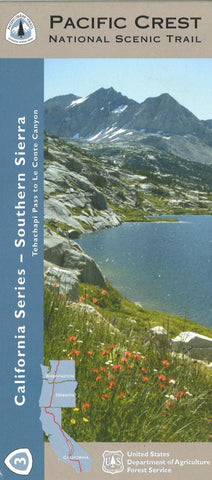
Pacific Crest Trail: The Southern Sierra Nevada - Tehachapi Pass to Le Conte
This topographic map from the United States Forest Service shows elevation by 100 ft contour intervals and is printed on waterproof and tear-resistant paper.
- Product Number: USFS_PAC_CA_SSN_7
- Reference Product Number: 2299746M
- ISBN: 9781593514648
- Date of Publication: 6/1/2007
- Folded Size: 9 inches high by 4 inches wide
- Unfolded (flat) Size: 36 inches high by 48 inches wide
- Map format: Folded
- Map type: Trade Maps - Park
- Geographical region: United States
- Geographical subregion: California


