
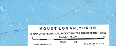
Mount Logan: A Map of Exploration, Ascent Routes and Research Sites
Made at the University of Calgary, The Arctic Institute of North America in 1993.
Map of Ski Tour area Mount Logan Ski Routes map, Alberta. scale 1:75,000 approx.
Map from 1992 by G. Holdsworth about 24 x 20. Scale 1:75,000. Double sided. front shows historical routes, exploration, ascent routes & research stations on Mt Logan on a shaded relief map at 1:100,000.
The reverse side details geology & geophysics, uplift curve, the 1992 expedition info & photo of Logan. Map is folded.
- Product Number: UC_MT_LOGAN_93
- Reference Product Number: 2295331M
- ISBN: 9780919034754
- Date of Publication: 6/1/1993
- Folded Size: 9.5 inches high by 4 inches wide
- Unfolded (flat) Size: 25 inches high by 19.5 inches wide
- Map format: Wall
- Map type: Trade Maps - Park
- Geographical region: Canada
- Geographical subregion: Northwest Territories


