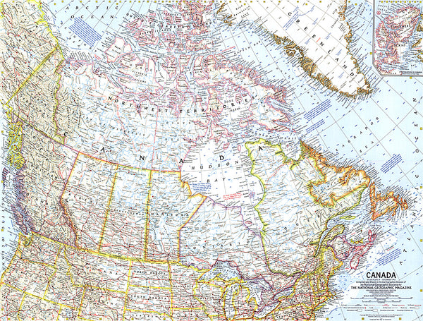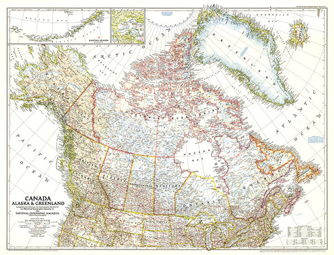
1947 Canada, Alaska and Greenland Map
This unique map of Canada, Alaska and Greenland shows North Americas northernmost reaches. Published in June 1947, this map provides a snapshot of Canada two years before the Dominion of Newfoundland became its tenth province.
- Product Number: PODHNG_CAN_GRE_AL_47
- Reference Product Number: 2321542M
- ISBN: - None -
- Date of Publication: 6/1/1947
- Unfolded (flat) Size: 26.25 inches high by 34.5 inches wide
- Map format: Wall
- Map type: Trade Maps - Political
- Geographical region: Canada,Greenland,United States
- Geographical subregion: Alaska