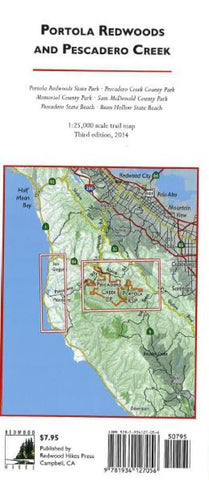
Portola Redwoods and Pescadero Creek
This map shows the interconnected trail systems of Portola and Pescadero parks on a single sheet. The entire Pescadero park complex including Sam McDonald County Park, Memorial County Park, and Heritage Grove are shown, and the trail connections to nearby parks on Skyline Ridge are also shown. The back of the map has 1:12,500 scale enlargements of Sam McDonald, Memorial, and the Portola State Parks. Newly added for the third edition is a map of five state beaches from Pigeon Point to San Gregorio, all of which are a short drive from Memorial County Park.
Trails and dirt roads were drawn from GPS data with a resolution of about 250 feet. The map is annotated with the locations of memorial grove markers, footbridges, panoramic viewpoints, and stairs, and trail mileages are marked. Since you can often walk for miles without seeing a trail marker, these annotations are useful for helping you keep track of your location.
Unofficial trails and roads that dont appear on the off
- Product Number: RHP_PESCADERO_16
- Reference Product Number: 2251953M
- ISBN: 9781934127070
- Date of Publication: 6/1/2016
- Folded Size: 9.06 inches high by 3.94 inches wide
- Unfolded (flat) Size: 26.77 inches high by 16.93 inches wide
- Map format: Folded
- Map type: Trade Maps - Park
- Geographical region: United States
- Geographical subregion: California


