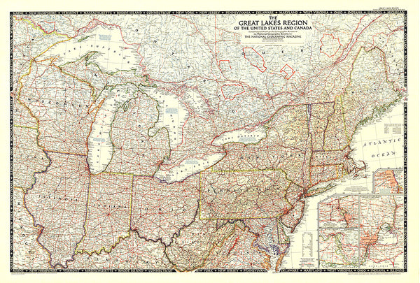
1978 Ontario Great Cities Wilds Within Reach Map
Published in December 1978 as half of a two-map set showcasing Canadas richest and most industrialized province, the Ontario: Great Cities, and Wilds Within Reach map provides an abundance of information about this diverse and exciting province. Together, the two maps accompanied the article Ontario, Canadas Keystone.
- Product Number: PODHNG_CAN_ONT_78_W
- Reference Product Number: 2321561M
- ISBN: - None -
- Date of Publication: 6/1/1978
- Unfolded (flat) Size: 32.75 inches high by 22.5 inches wide
- Map format: Wall
- Map type: Trade Maps - Wall Art
- Geographical region: Canada
- Geographical subregion: Ontario

