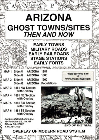
Arizona, Ghost Towns, 6-Map Set, Then and Now
Follow the early trails and roads connecting early military sites, numerous stage stations and early town sites. Height 9.5 Width 6.5 The Arizona Ghost Towns package includes 6 maps. Map 1 is a reproduction of an original map of 1881 on one side and 1885 on the back. Map 2, side 1 is a map of 1900 with a population comparison on the reverse side. Maps 3-6 have an overlay of the modern road system over the map of 1900. Instruction for using the overlay are printed on the back of the envelope.
- Product Number: NWD_AZ_GHOST_21
- Reference Product Number: - None -
- ISBN: 9780965755887
- Date of Publication: 6/1/2021
- Folded Size: 9.45 inches high by 6.3 inches wide
- Unfolded (flat) Size: 22.05 inches high by 16.93 inches wide
- Map format: Folded
- Map type: Trade Maps - Historical
- Geographical region: United States
- Geographical subregion: Arizona


