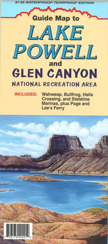
Waterproof Guide map to : Lake Powell and Glen Canyon : national recreation area
This folded guide map to Lake Powell and Glen Canyon National Recreation Area from North Star Mapping includes Wahweap, Bullfrog, Halls Crossing and Stateline marinas plus Page and Lees Ferry. This map also features waterproof & tear proof paper and information for Lake Powell marina & facilities, regulation and safety, climate, weather, roads, water levels and archaeological sites.
- Product Number: NSM_POWELL_WP_19
- Reference Product Number: 2325690M
- ISBN: 9780942927252
- Date of Publication: 6/1/2019
- Folded Size: 9.06 inches high by 3.94 inches wide
- Unfolded (flat) Size: 27.56 inches high by 17.32 inches wide
- Map format: Folded
- Map type: Trade Maps - Park
- Geographical region: United States
- Geographical subregion: Utah


