
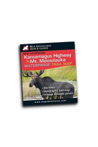
Kancamagus Highway & Mt. Moosilauke Hiking and Biking
Kancamagus Highway, stretching 34 miles from Conway to Lincoln, is one of the most beautiful and popular drives in the East. Unbroken forests, high mountain vistas, rocky streams, and frequent moose sightings are among the many attractions of this National Scenic Byway. The road attains its highest elevation – 2855 ft. - at Kancamagus Pass, marking the divide between the Saco and Merrimack watersheds.
Mt. Moosilauke, at 4,802’ is the tenth highest and most southwesterly of the 4,000 foot summits in the White Mountains. In good weather there are great views into Vermont to the west. This Gentle Giant has been climbed by local for many years.
Map Features
Suggested Day-Hikes
Campgrounds
Parking and overlooks
Trail mileage between points
Detailed cartography
Areas Covered
Mt. Moosilauke
Kancamagus Highway – from Conway to Lincoln, NH
- Product Number: MADV_KAN_MOOSE_TL_16
- Reference Product Number: - None -
- ISBN: 9781890060107
- Date of Publication: 1/1/2016
- Folded Size: 4.5 inches high by 4 inches wide
- Unfolded (flat) Size: 24 inches high by 9 inches wide
- Map format: Folded
- Map type: Trade Maps - Hiking
- Geographical region: United States
- Geographical subregion: New Hampshire


