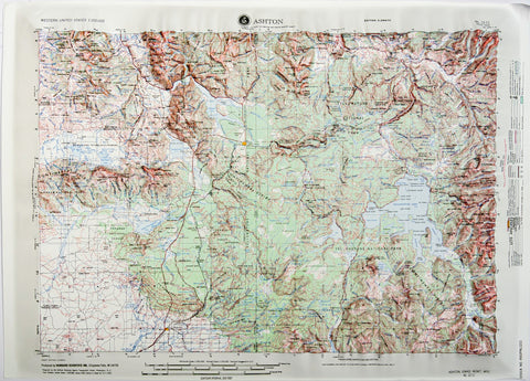
Ashton, Idaho (NL 12-11) Raised Relief Map
This raised relief map covering Ashton, Idaho (sheet NL 12-11) uses a USGS/DMA 1:250,000 topographic map as the base.
- Product Number: HUB_NL1211_
- Reference Product Number: 2293843M
- ISBN: - None -
- Map format: Raised Relief
- Map type: Trade Maps - Raised Relief
- Geographical region: United States
- Geographical subregion: Idaho


