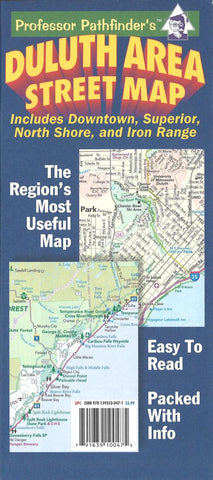
Duluth area street map : includes downtown, Superior, North Shore, and Iron Range
A complete map of the Twin Harbors area. Detailed street map includes surrounding suburbs. A downtown map shows every building in the core, colored and labeled by use. A map of the North Shore and Boundary Waters area includes recreation information. A comprehensive Iron Range regional map and campus maps of three area colleges round out the piece.
- Product Number: HED_DULUTH_13
- Reference Product Number: 2184488M
- ISBN: 9781593530471
- Date of Publication: 6/1/2013
- Folded Size: 9.45 inches high by 4.33 inches wide
- Unfolded (flat) Size: 37.01 inches high by 25.98 inches wide
- Map format: Folded
- Map type: Trade Maps - City Maps
- Geographical region: United States
- Geographical subregion: Minnesota,Wisconsin


