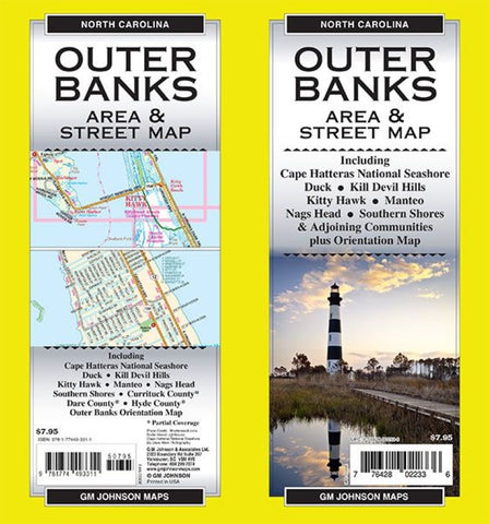
Outer Banks Area & Street Map
Outer Banks Area & Street Map, Including Cape Hatteras National Seashore Duck, Kill Devil Hills, Kitty Hawk, Manteo, Nags Head, Southern Shores, Currituck County, Dare County, Hyde County, Outer Banks Orientation Map
- Product Number: GMJ_OUTER_BANKS_23
- Reference Product Number: - None -
- ISBN: 9781774493311
- Date of Publication: 1/1/2023
- Folded Size: 39.25 inches high by 26.63 inches wide
- Unfolded (flat) Size: 9 inches high by 4.25 inches wide
- Map format: Folded
- Map type: Trade Maps - City Maps
- Geographical region: United States
- Geographical subregion: North Carolina


