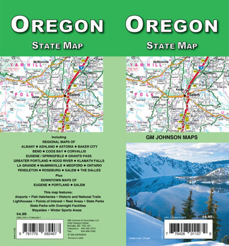
Oregon : state map
Folded tourist map of Oregon. Main map covers entire state and border cities with index and recreation area list. Reverse shows distance chart and maps of La Grande, Pendleton, Hood River, Klamath Falls, Bend, north Ontario, Astoria, NcMinnville, Coos Bay, Roseburg, Baker City, Medford, Grants Pass, Ashland, Corvallis, the Dalles, Albany, Salem, downtown Salem, Downtown Eugene, Eugene/Springfield, Portland, and vicinity.
- Product Number: GMJ_OR_18
- Reference Product Number: - None -
- ISBN: 9781770686861
- Date of Publication: 6/1/2018
- Folded Size: 9.45 inches high by 4.33 inches wide
- Unfolded (flat) Size: 39.17 inches high by 19.49 inches wide
- Map format: Folded
- Map type: Trade Maps - Road
- Geographical region: United States
- Geographical subregion: Oregon


