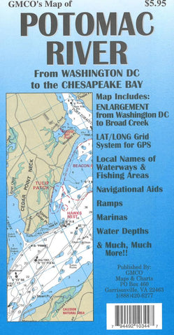
Upper Potomac River Chart & Fishing Map
From Dam 4 to Great Falls. Large Scale, Waterproof, Special LAT/LONG Grid for GPS, Facilities listing, Local Area Names, Aids to Navigation and MUCH MORE!
- Product Number: GMCO_UPPER_POTO_
- Reference Product Number: - None -
- ISBN: - None -
- Folded Size: 11.02 inches high by 5.51 inches wide
- Unfolded (flat) Size: 35.04 inches high by 22.05 inches wide
- Map format: Folded
- Map type: Trade Maps - Fishing
- Geographical region: United States
- Geographical subregion: Virginia


