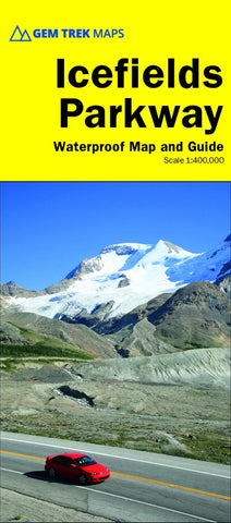
Icefields Parkway Map (4th edition)
Waterproof and tear-resistant hiking and recreation map for the Icefields Parkway between Banff and Jasper National Parks
Whether you have a day or a week to spend exploring the sights along the spectacular Icefields Parkway highway, this combination map and guide will help you make the most of your time. Like our much-loved hiking maps, the Icefields Parkway Map features detailed cartography and is printed on waterproof and tear-resistant paper. The Icefields Parkway Map shows all viewpoints, picnic areas, trailheads, campgrounds, hostels, lodges and other services along the Icefields Parkway, while the descriptions in the guide point you to the best of these the best viewpoints of mountains and lakes, the most interesting points of interest and exhibits, and the best bets for spotting wildlife such as moose, bighorn sheep and mountain goats. Also included are short descriptions of the ten best walks and day hikes along the Icefields Parkway from the short stroll to Peyto Lake
- Product Number: GEM_ICEFIELDS_20
- Reference Product Number: - None -
- ISBN: 9781895526974
- Date of Publication: 8/1/2020
- Folded Size: 10 inches high by 5 inches wide
- Unfolded (flat) Size: 20 inches high by 18 inches wide
- Map format: Folded
- Map type: Trade Maps - Park
- Geographical region: Canada
- Geographical subregion: Alberta

